Rhine Source-to-Sea 2023
Contents
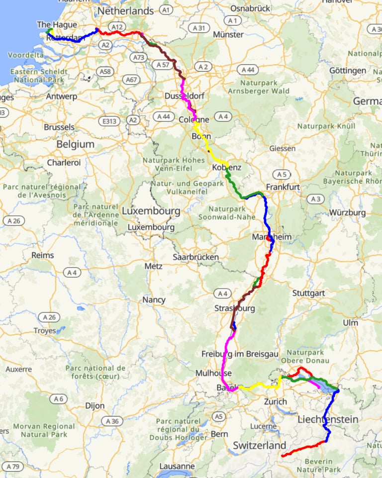

This trip is another from the Bike Adventures catalogue. What better than to do a bike ride that should be downhill all the way? So when the organisers announced that it was looking probable for 2023, I signed up. I subsequently persuaded my friend Richard to sign up as well with the offer that we could share a room, which would save me the single room supplement (I knew from sharing a room previously that he didn't snore).
Getting to the Start
My previous Bike Adventures trips had used a Bike with Rohloff gears. For this trip I built a bike with 2 x 9 derailleur gears which would save a little weight as my bike is usually the heaviest of any in the group.
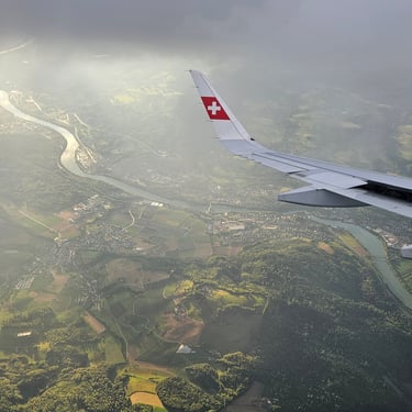
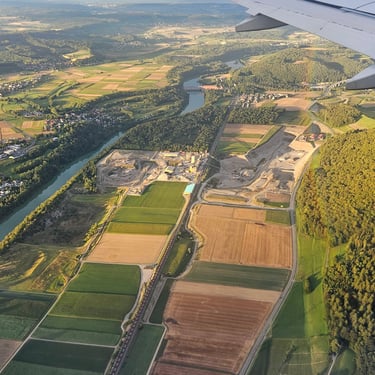
The first logistical challenge was to figure out the best way to the designated meeting point in Zurich airport on a summer Saturday afternoon. The bike would go to Bike Adventures in a box, as on the previous trips. The Saturday flights were expensive unless very early. Late Friday afternoon was cheaper, even after adding the cost of a room in Zurich, and provided slack in the schedule in case of delayed flights. In reality, the flight was fairly punctual and provided an opportunity to aerial reconnaissance of some of the cycling route but it was getting dark by the time Richard and myself were settled into a very compact room in the Ibis Budget hotel near Zurich Airport. The hotel had no restaurant and we were lucky to get into a pizzeria next to the hotel just before it closed. We had a good meal followed by our introduction to Swiss prices.
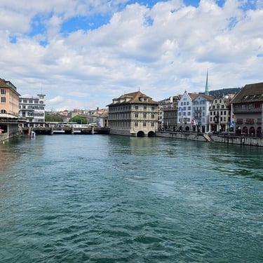
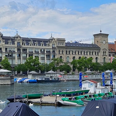
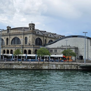
The next morning we first parked our bags in the left luggage facility at the airport before going to the city centre for a few hours of tourism. We then returned to the airport to meet other group members at a cafe in the arrivals hall and wait for the coach to take us to the hotels near the start.
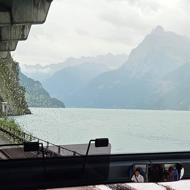
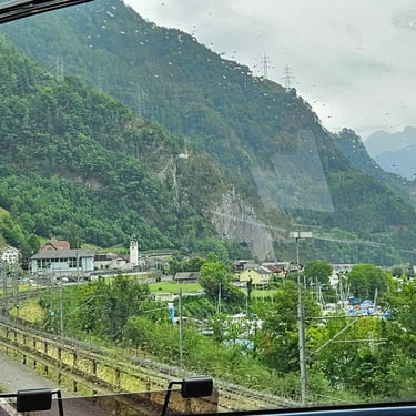
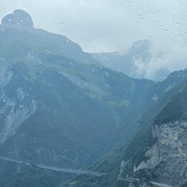
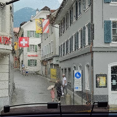
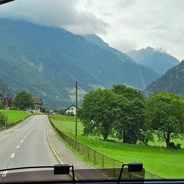
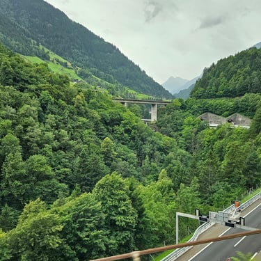
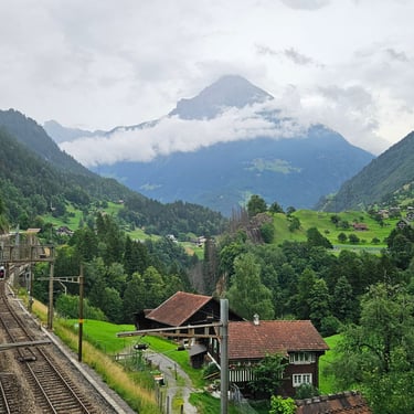
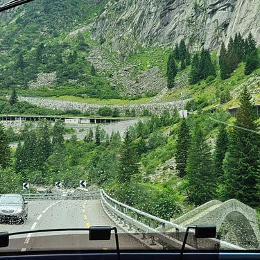
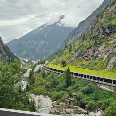
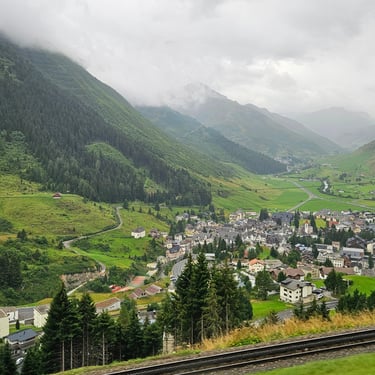
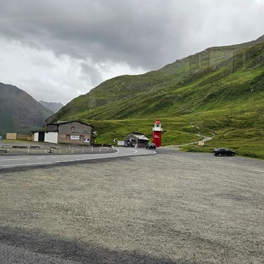
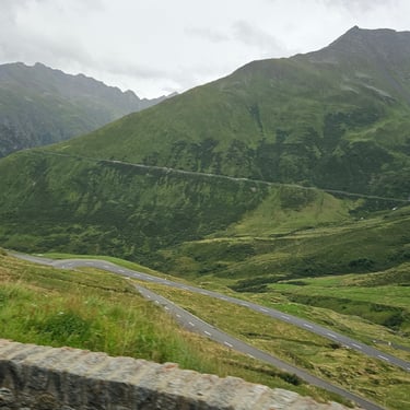
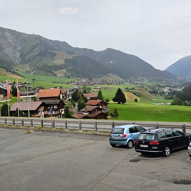
The coach trip started in heavy rain which gradually eased off. I had taken a front seat in case there was some good scenery and wasn't disappointed, The coach took the road towards the Gotthard pass as far as Andermatt where we turned eastwards to zig-zag eastwards up the hill to the Oberalp pass where some of the group disembarked as they were staying there ready to cycle down the hill. The remainder of the group continued on the coach to their accommodation at the Cresta hotel in Sedrun.
After checking in and taking a very welcome dinner (I hadn't had a proper meal all day) the remaining task for the day was the unboxing and reassembling my bicycle ready for the start of the cycling trip.
Day 1: Oberalp Pass to Chur
Day 1 (30th July) Summary
Distance 58.2 miles: Total Ascent = 1,147m (3,760ft)*
Elapsed time = 7hr 21min: Moving time = 4hr 59min
Average moving speed = 11.7mph
*Ascent according to my Garmin Edge 1040 which usually agrees closely with Google Earth. My Edge 530 usually records about 15% less climbing which is more consistent with RWGPS. I assume that the newer hardware is more accurate.
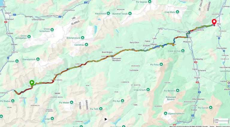


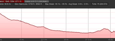
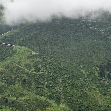
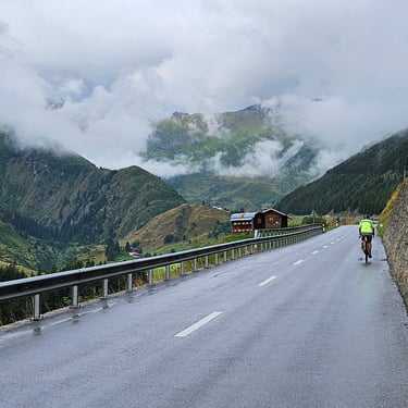
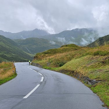
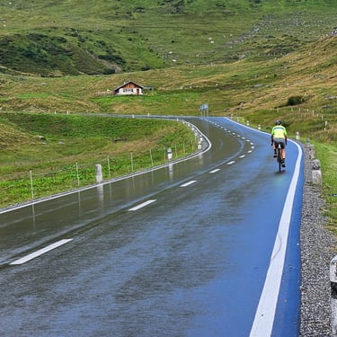
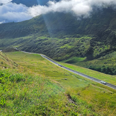
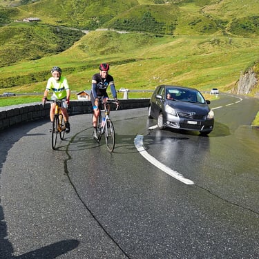
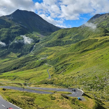
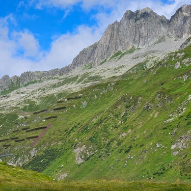
Several weeks before the trip commenced, the organisers had asked which participants would be willing to cycle up the hill from the Cresta Hotel in Sedrun to the nominal start at the top of the Oberalp pass. I examined the route profile in Google Earth and saw that although the total climb was about 600m (2,000ft) the gradient was typically between 6% and 9%. Comparison with somewhat smaller hills of similar gradient near my home suggested that the bigger hill would take about one hour of pedalling, so why not give it a try? So I decided to give the hill a test and estimated that it would take me about an hour of pedalling. I was more worried about unfavourable weather than the prospect of a long hill.
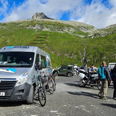
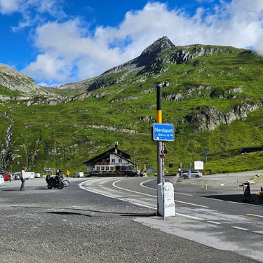
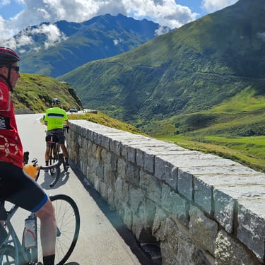
Breakfast was taken fairly early but the check-out was delayed by the need to pay tourist tax (€ per person) as this wasn't built into the room rate. Departure was at 08:39. The road was wet but the overnight damp weather was conveniently clearing. 14C slightly dropping with increasing altitude was a good temperature for the ascent. I stopped a few times, usually on the outside of the hairpin bends where the view was best, to take a quick break and get a few photos and reached the Oberalp Pass in close to my forecast pedalling time. I was panting furiously, which I blame on the altitude. I was just ahead of tour leader Andy who was sprinting up the final climb and Richard appeared about 5 minutes later. He hadn't been confident about completing the climb as he hadn't had much spare time for pre-ride training.
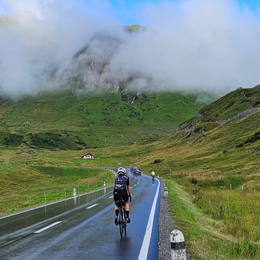
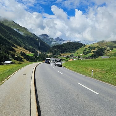
After loitering at the summit for nearly 20 minutes to recover ingest some calories and put on a jacket, it was time to get moving. I was, with hindsight, unneccessarily cautious on the descent and should have let my speed build up more between the bends. It took about 18 minutes to pass the Cresta Hotel. Nonetheless, this day recorded my fastest ever 40km (~25 miles) with an average speed of 17.4mph. I should have done better given the combination of downhill and good road. Just after passing Sedrun we crossed over the Gotthard Base Tunnel which is about 800m below the road but is evident from a shaft used for construction and subsequent emergency access. A short stop was subsequently made to remove my jacket.
A lunch stop of nearly 1 hour at Ilanz (36.5 miles) next to railway level crossing. Just before this town I nearly missed a turning off the main road. This had me puzzled as it wasn't showing on the map on my Garmin 1040. I switched to the map screen on my Garmin 530 which revealed that the 1040 hadn't loaded the detailed mapping (my belt-and-braces approach meant that I had two navigation devices on the bike in case one had a problem). Something to sort out later.
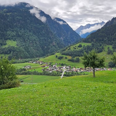
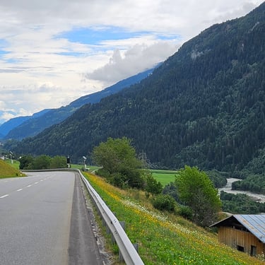
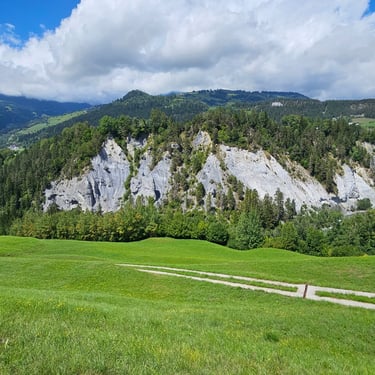
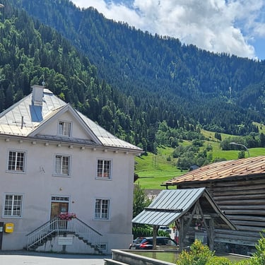
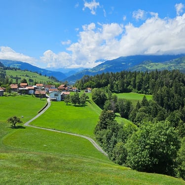
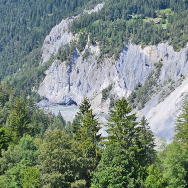
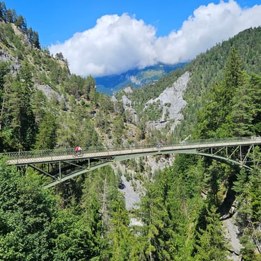
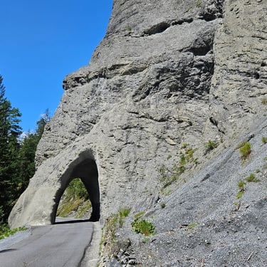
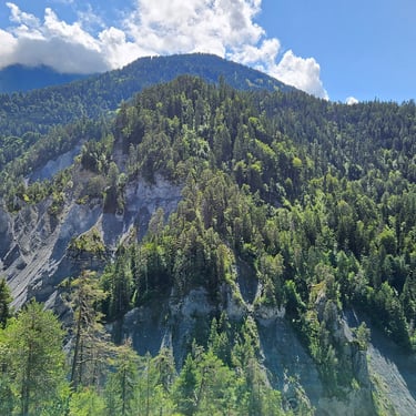
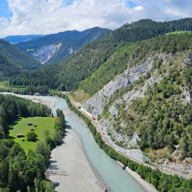
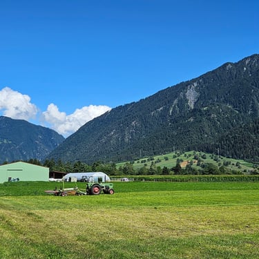
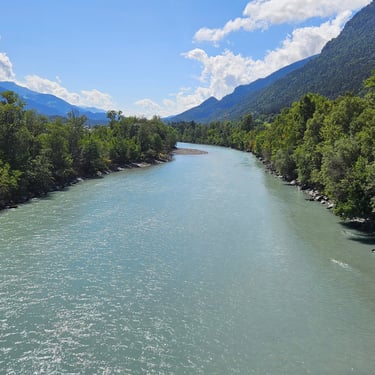
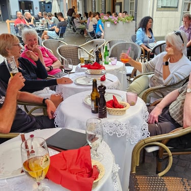
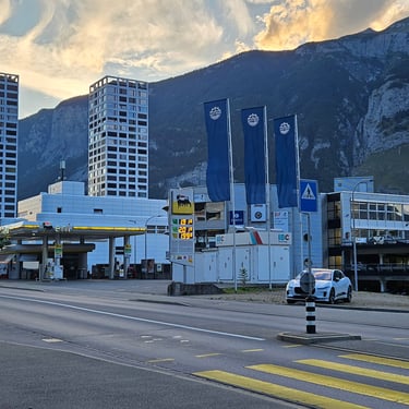
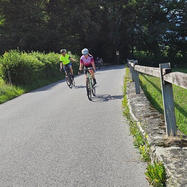
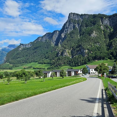
The afternoon cycling included some undulating terrain along a very scenic small road which included some short tunnels as well as some excellent viewpoints. The weather was gradually warming up and reached the mid 20s C towards the end in Chur. That evening I tried to reload the maps onto the Edge 1040. The first attempt, while we were taking dinner, failed, but a subsequent, overnight attempt succeeded.
Day 2: Chur to Lindau
Day 2 (31st July) Summary
Distance 67.5 miles: Total Ascent = 425m (1,400ft)*
Elapsed time = 7hr 16min: Moving time = 5hr 32min
Average moving speed = 12.2mph
*Ascent according to my Garmin Edge 1040 which usually agrees closely with Google Earth. My Edge 530 usually records about 15% less climbing which is more consistent with RWGPS. I assume that the newer hardware is more accurate.
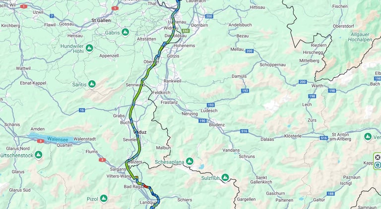


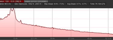
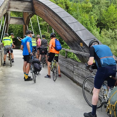
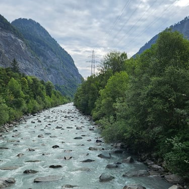
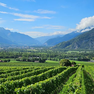
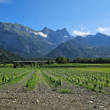
This was a pleasant day of cycling mainly following the Rhine. Departure was just after 9am when the temperature was 18C (rising to low 20s C in afternoon). The first interesting feature after just over an hour's cycling was a large wooden arch bridge over the turbulent, white-tinted, Landquart river which drains the Davos area. Getting to this bridge required a bit of climbing as the bridge was located about 2 miles away from the Rhine. The route then descended past some vineyards to rejoin the Rhine.
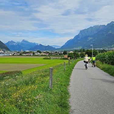
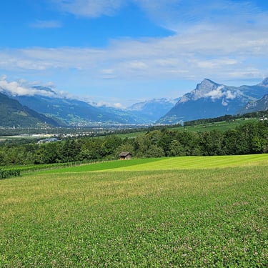
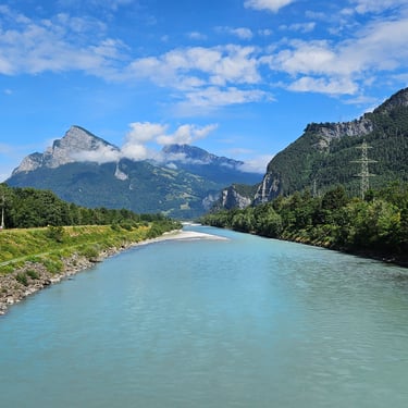
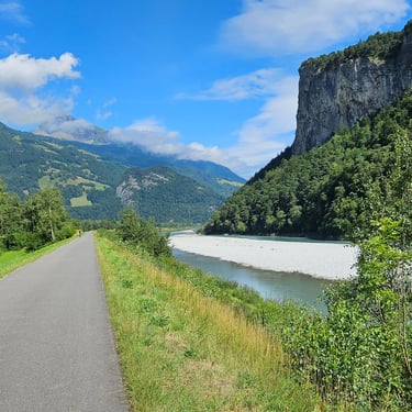
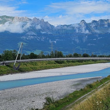
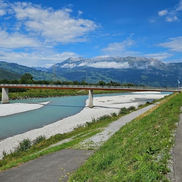
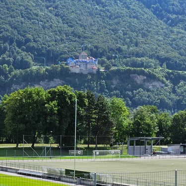
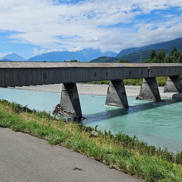
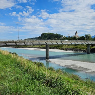
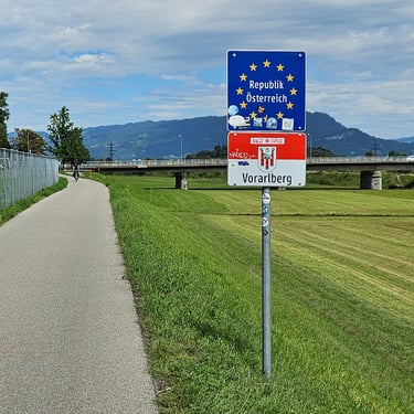
Most of the cycling was then along the embankments alongside the Rhine and provided a range of scenery plus a variety of bridges over the river. About 7 miles of cycling on the right bank was through Liechtenstein, which added another country to the list of those visited during the tour. A lunch stop at Montlingen (43 miles) lasted 3/4 hour before continuing at steady speed alongside the river. Some head-scratching was required at about 55 miles in the village of Fussach because the designated route had been closed and diversion signs were initially abundant but then disappeared. It resulted in more than a mile of extra pedalling, but fortunately didn't involve any hills.
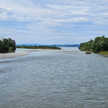
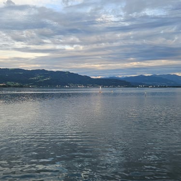
Getting through Bregenz was quite slow as the town, at the south end of Lake Konstanz (also called Bodensee) is effectively the local sea-side resort and was fairly crowded on a sunny afternoon. At one point the route had been closed to cyclists and a diversion had to be figured out. After this there was about 5 miles, mainly alongside the lake along a fairly busy cycle track/footpath, to reach the hotel in Lindau.
There weren't any good restaurants close to the hotel in Lindau and the van provided a shuttle service to Lindau Island where there was a good selection of facilities but the options were limited to those with sufficient space for groups of hungry cyclists. It was a pleasant evening and some of us decided to walk the two miles back to the hotel rather than wait for transport.
Day 3: Lindau to Schaffhausen
Day 3 (1st August) Summary
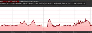
Distance 63.4 miles: Total Ascent = 700m (2,300ft)*
Elapsed time = 7hr 59min: Moving time = 5hr 47min
Average moving speed = 11.0mph
*Ascent according to my Garmin Edge 1040 which usually agrees closely with Google Earth. My Edge 530 usually records about 15% less climbing which is more consistent with RWGPS. I assume that the newer hardware is more accurate.
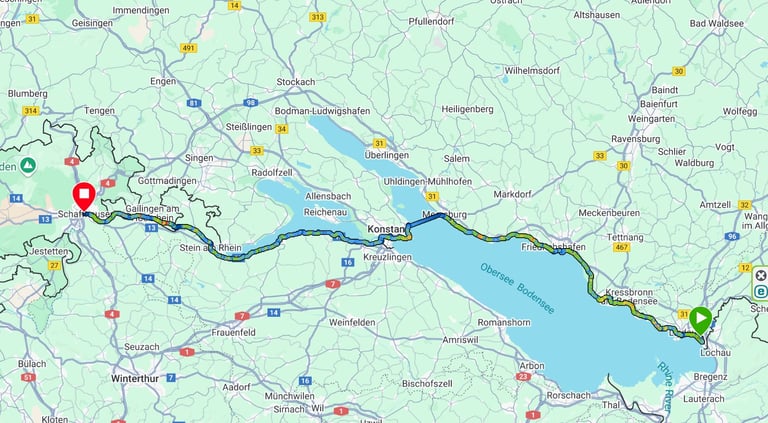


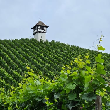
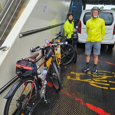
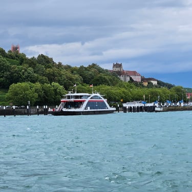
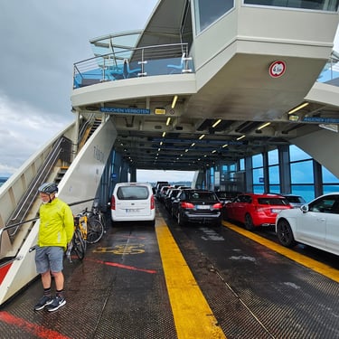
We had been provided with three different route options depending on what ferries were working. The longest option was around the north end of the lake. In the event, research indicated that the Konstanz - Meersburg ferry service was operating. Uncertainty about how much delay might be incurred waiting for a ferry prompted a fairly early start at 08:40. The temperature was 19C with drizzlebut turning cooler with wetter weather mid-morning and then creeping up to 20C in afternoon. One benefit of the wet weather was that the popular cycle route alongside the lake was very quiet. A 3/4 hour late morning refeshment break were taken at a cafe at Meersburg (29 miles). A few of us were then fortunate to get onto a ferry with minimal waiting. The crossing took 20 minutes during which time the fares were collected. There were several ferries in operation so no one had to wait very long.
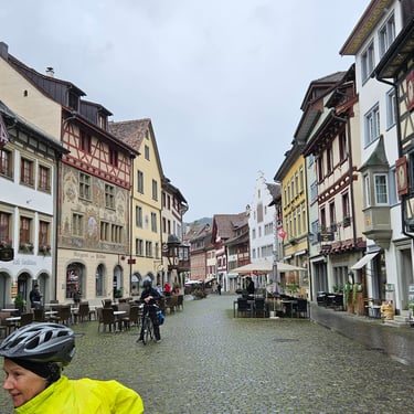
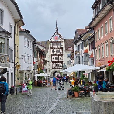
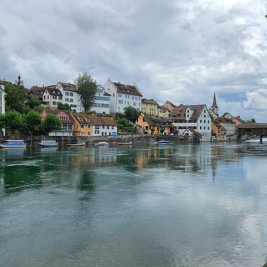
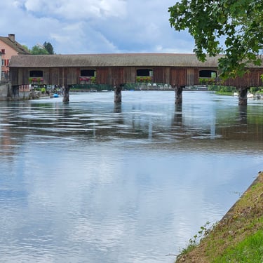
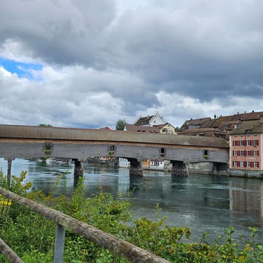
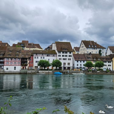
The weather gradually dried out during the afternoon. A half hour ice cream stop at Bedingen (43.5 miles) provided a pleasant break. At 52 miles the route crossed to the north side of the Rhine and passed through the old town part of Stein Am Rhein which merited some photos. A few miles further on we had to climb the most significant (but not very big) hill of the day which took us briefly into Germany before passing the picturesque town of Diessenhofen with its covered bridge over the river.
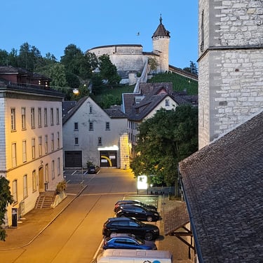
After this there were a few more miles of easy cycling through bits of Switzerland and Germany (the best clue for which country at any time was the registration numbers of parked vehicles) before reaching our destination in Schaffhausen (in Switzerland). The hotel room overlooked a church with a wood tiled roof.
Day 4: Schaffhausen to Rheinfelden
Day 4 (2nd August) Summary
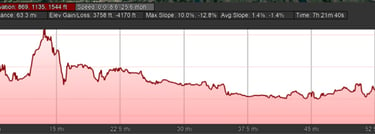
Distance 64.6 miles: Total Ascent = 748m (2,450ft)*
Elapsed time = 7hr 22min: Moving time = 5hr 28min
Average moving speed = 11.8mph
*Ascent according to my Garmin Edge 1040 which usually agrees closely with Google Earth. My Edge 530 usually records about 15% less climbing which is more consistent with RWGPS. I assume that the newer hardware is more accurate.
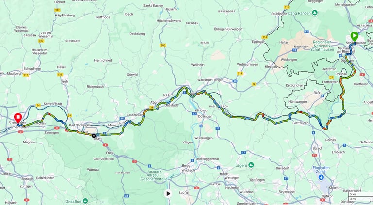


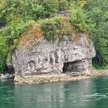
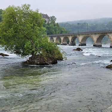
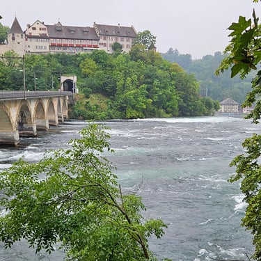
Cycling started at 08:30 in chilly (15C) damp conditions but the temperature gradually rose to the upper 20s C in the afternoon. The first notable feature was the Rhine Falls although access to the best viewpoint costs money and wouldn't allow entry of bicycles so was given a miss. In addition, the falls would be much more impressive in the spring when the flow is supplemented by snow melt. Crossing the river was on a narrow pedestrian bridge fixed on one side of a railway bridge. This was fortunately free of pedestrians as it was fairly early.
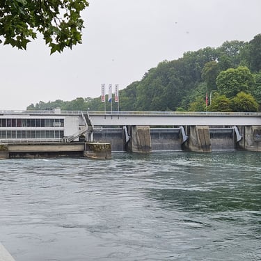
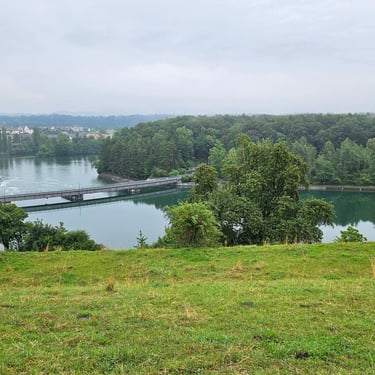
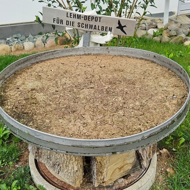
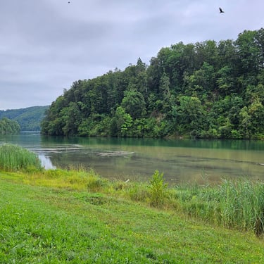
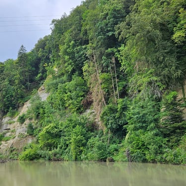
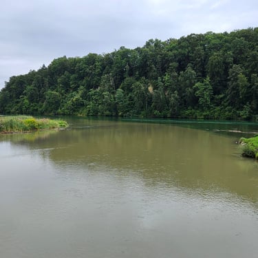
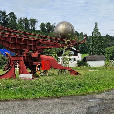
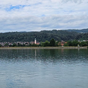
The day's route route followed the river valley on the south side of the river and was in Switzerland until Rheinfelden. Sometimes we were close to river (one short section was on the river bank) and sometimes up to a mile from the river. This section of the river has a series of barrages for hydropower generation. One interesting feature was what looked like a bird bath outside a house but it was full of soil with a sign which roughly translated as "soil for the swallows". At about 24 miles we briefly stopped to admire a fascinating moving sculpture with the caption of "Sisyphus 1977". A motor-driven mechanism would move a large ball uphill to one end of the machine whereupon the ball would roll down to the other end.
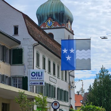
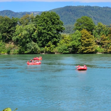
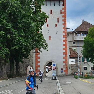
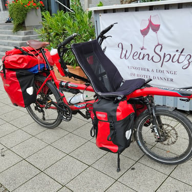
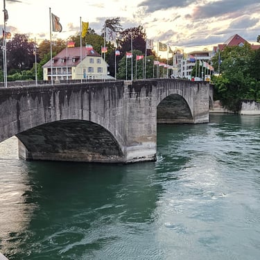
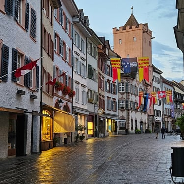
After 31 miles at about noon a half hour refreshment stop was taken at a cafe in Bad Zurzach. A few miles further on we crossed the River Aare close to its confluence with the Rhine which then became a much larger river. The afternoon's cycling was uneventful. Perhaps the most notable feature was a nuclear power station. We had to pass under a large tower to enter Rheinfelden and then cautiously cycled down a cobbled street with plenty of shops and shoppers before crossing the Rhine to enter the German half of Rheinfelden where hotels and food are noticeably less expensive than in Switzerland. The final interesting feature for the day was a tandem bicycle parked outside the hotel which was unusual for the stoker being at the front in a semi-recumbent position.
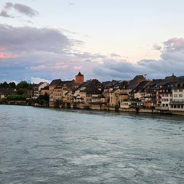
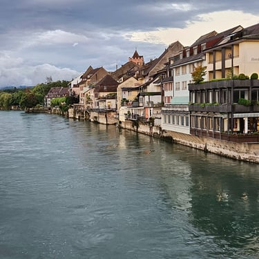
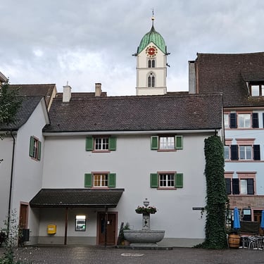
After a good dinner a revisit was made to the Swiss side of the river for a better look at the architecture.
Day 5: Rheinfelden to Kappel-Grafenhausen
Day 5 (3rd August) Summary
Distance 77.8 miles: Total Ascent = 500m (1,640ft)*
Elapsed time = 8hr 10min: Moving time = 6hr 32min
Average moving speed = 11.9mph
*Ascent according to my Garmin Edge 1040 which usually agrees closely with Google Earth. My Edge 530 usually records about 15% less climbing which is more consistent with RWGPS. I assume that the newer hardware is more accurate.
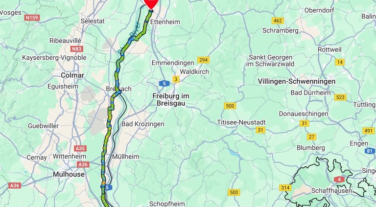


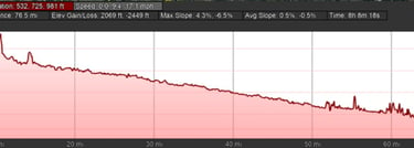
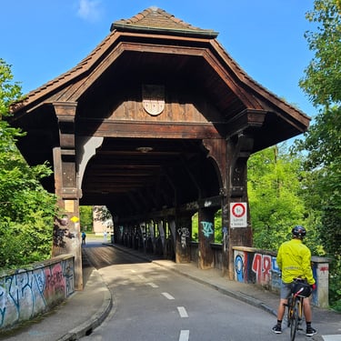
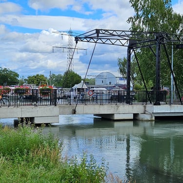
This was going to be the longest day, in terms of distance, of the whole trip and merited an early start, particularly as the route passed through Basel and urban cycling is invariably slower. Departure was at 07:50 with a blue sky and a temperature of 18C, rising into the low 20s C later in the day. The early start meant little traffic on the way out of Rheinfelden which involved going back over the bridge onto the Swiss side of the river. After half an hour the route passed an old amphitheatre which I didn't know to look out for and it was on a downhill section. I did stop, however, not long after this to admire a fine wooden bridge with a roof.
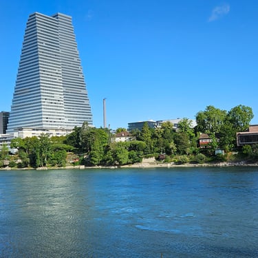
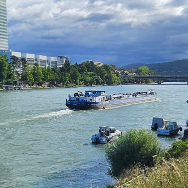
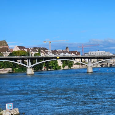
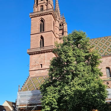
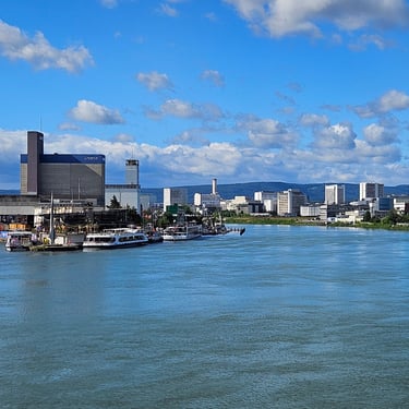
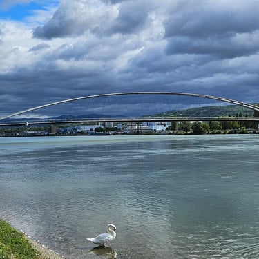
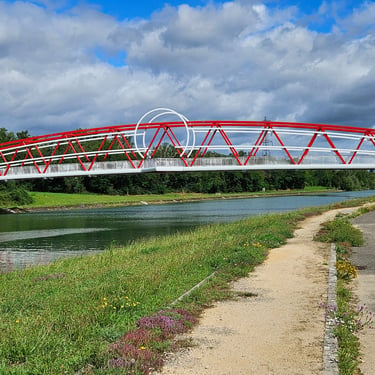
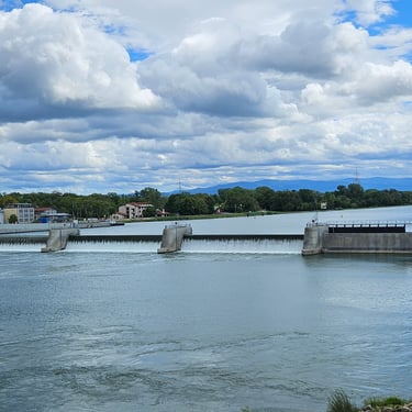
The centre of Basel was reached in about 1½ hours and 15 miles which was relatively slow progress but much of the route had been urban and undulating. Basel had some interesting buildings and is the terminus for the big Rhine cruse boats. We crossed the river on a wide bridge to what was still Switzerland and then turned left, remembering to watch out for trams and cross the tram lines at right angles. Once clear of the city centre and after passing through a corner of Germany the route took another left turn, crossing the river on a fine pedestrian and cycling bridge and entered France with the next 9 miles along a good cycle track next to a canal. Better progress was made and helped because the change in direction made the wind helpful.
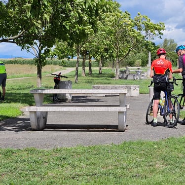
We found a good boulangerie at Hombourg after 31.5 miles and 3¼ hours from the start miles. Nearly half an hour was spent on refreshments and getting a picnic for later in the day before proceeding on what was now easy cycling on rural roads or cycleways in a pleasant temperature, a gentle downhill slope and with a supportive wind. A stop was made at about 1pm and 49 miles on the edge of Obersaasheim (a very Germanic name in what is now France) for a 15 minute picnic where someone had conveniently placed tables and benches on the cycle route.
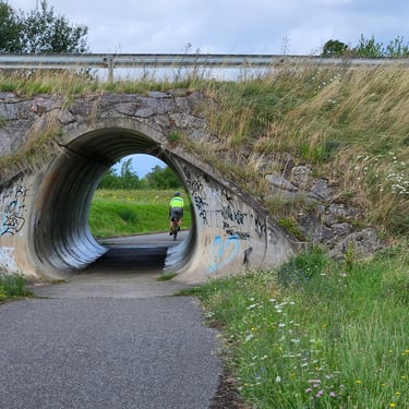
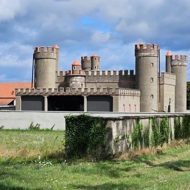
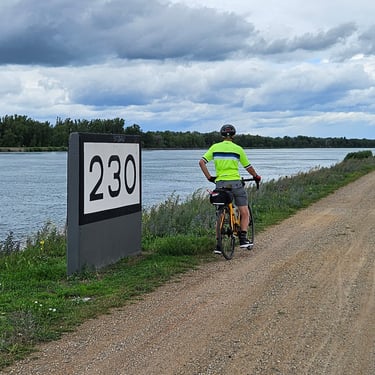
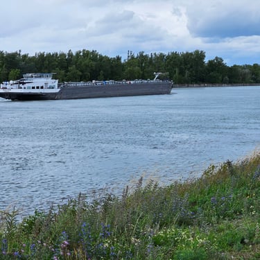
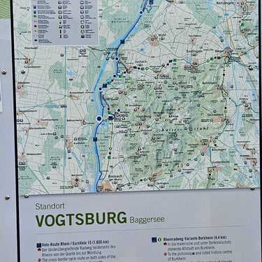
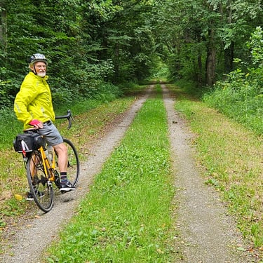
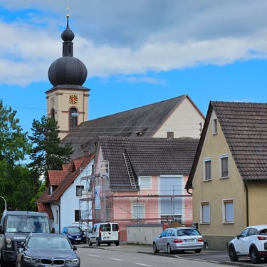
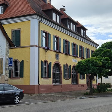
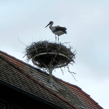
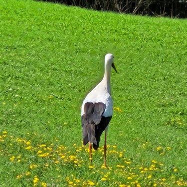
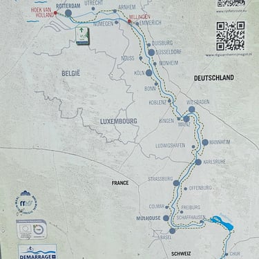
Soon after the picnic we crossed over to the east side of the river, in Germany, for the remainder of the day. There was 15 miles of cycling on a good track (European cycle route 15) alongside the Rhine before turning away from the river, through some forest and then on more rural roads to the small town of Kappel Graufenhausen which we reached at about 4pm. I had expected a later arrival given the distance but the favourable conditions once through Basel resulted in above average speed (by my standards). I could have happily pedalled a further 10 miles. The town had no large hotel and the group used several small hotels and guest houses. There was a fine town hall (Rathaus in German) with a metal basket on the roof for storks (a symbol of good luck and fertility) could nest. We saw one in residence.
Day 6: Kappel-Grafenhausen to Rastatt
Day 6 (4th August) Summary
Distance 62.1 miles: Total Ascent = 208m (680ft)*
Elapsed time = 6hr 35min: Moving time = 5hr 01min
Average moving speed = 12.4mph
*Ascent according to my Garmin Edge 1040 which usually agrees closely with Google Earth. My Edge 530 usually records about 15% less climbing which is more consistent with RWGPS. I assume that the newer hardware is more accurate.
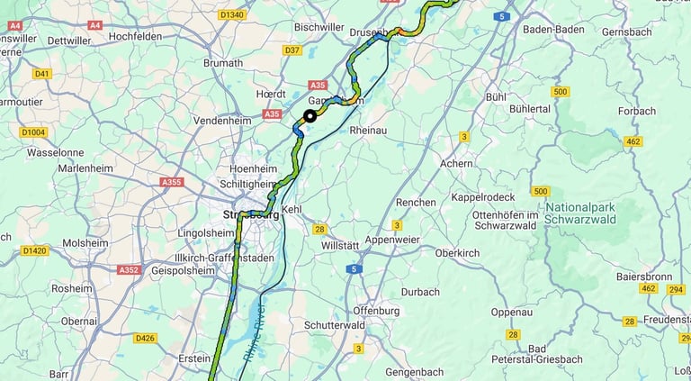


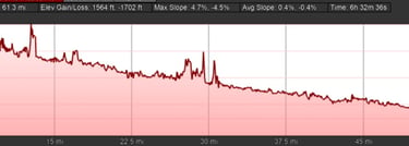
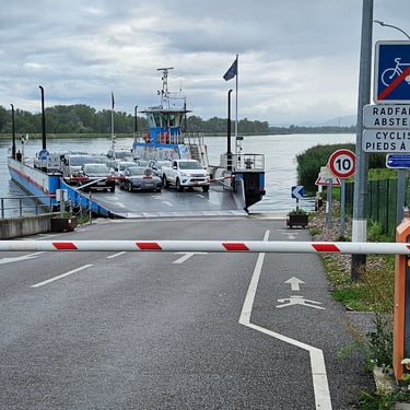
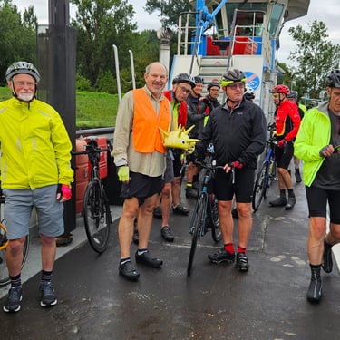
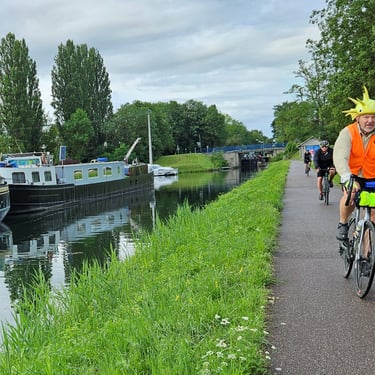
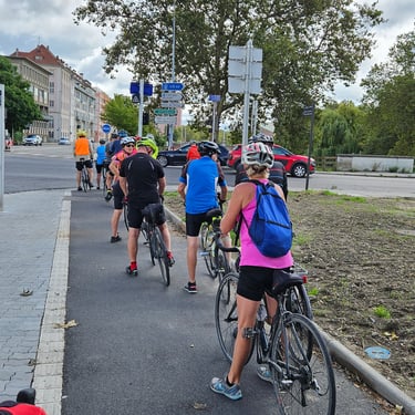
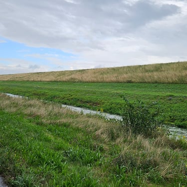
This was a shorter day (compared to the previous one) with a start at about 08:45 in fairly cool (17C) and damp weather. The first part of the journey took 10 minutes to cover the two miles to the Rhine where we waited 10 minutes for a ferry to the west side of the river and France, again. As the river became wider then bridges became fewer and almost every subsequent day involved at least one ferry. This ferry was free to use as it was a vital link for local people. Once across the ferry there was 3 miles of road cycling before turning onto a good cycle track alongside the Rhone - Rhine canal. 18 miles of canal-side cycling took us into the middle of Strasbourg where the weather was drier and slightly warmer and a short deviation was made to a cafe for a half hour refreshment break.
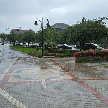
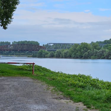
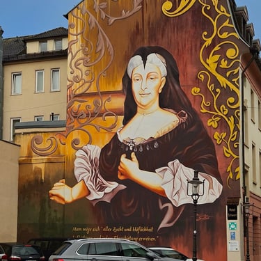
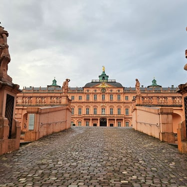
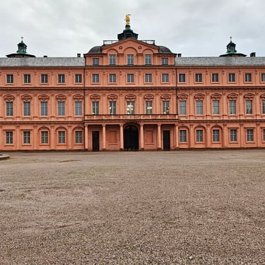
We were an hour nearer the destination when, at about 31.8 miles, the heavens opened. Temporary refuge was taken in a church porch where, after waiting several minutes to see if it was a passing shower, we decided to put on the waterproofs and continue the journey, The rain triggered a drop in temperature to 16C so the waterproofs also provided some warmth. At 39 miles use was made of a bus shelter for a quick picnic using supplies on the bike. Between 44 and 55 miles the route used a track parallel to the river which was hidden behind a big embankment before crossing the river on a bridge for the final 6 miles to Rastatt. The heavy rain was easing by the end of the ride at 3:20m. Two members of the group were checked in hospital after coming off their bikes at a wet and slippery level crossing. A short inspection of the city centre, in particular the "castle" was done in the evening after dinner.
Day 7: Rastatt to Speyer
Day 7 (5th August) Summary
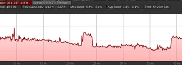
Distance 51.1 miles: Total Ascent = 249m (815ft)*
Elapsed time = 5hr 24min: Moving time = 4hr 11min
Average moving speed = 12.2mph
*Ascent according to my Garmin Edge 1040 which usually agrees closely with Google Earth. My Edge 530 usually records about 15% less climbing which is more consistent with RWGPS. I assume that the newer hardware is more accurate.
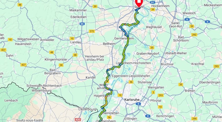


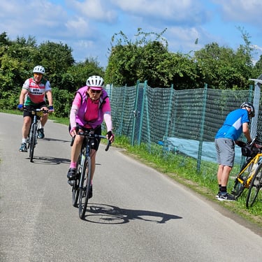
This was an even shorter day with a leisurely breakfast and departure just before 10am with dry weather, blue sky and the temperature at 18C but rising into the low 20s C. It took almost an hour along quiet roads or cycle tracks for the 11 miles to the ferry of the day near Neuburgweier. There was a 10 minute wait for the next crossing, still in Germany which had encroached on the west side of the river in this area, followed by more quiet roads and cycle tracks.
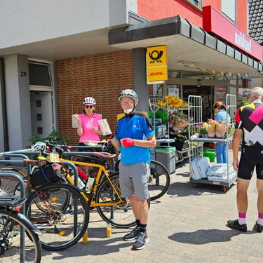
There did not appear to be many refreshment options along the day's route but a bakery in Leimersheim (about 29 miles) had been identified. Saturday, however, proved to be early closing day at the bakery so a visit was made to a nearby small supermarket followed by a quick picnic outside where the rappers can be put in a rubbish bin.
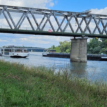
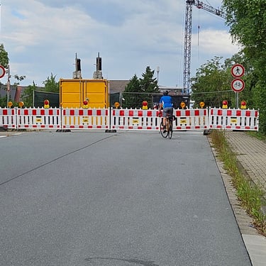
The remainder of the ride was uneventful except for (i) in Lingenfeld the route was closed but an alternative was signed (I had learnt a new German word "umleitung"), and (ii) about a mile from the hotel, the road was closed off barriers. No cyclist diversion was signed but a quick examination of the mapping on my phone revealed a potential alternative route which proved to be viable and arrival at the Ibis hotel was at 3:15pm.
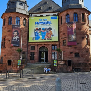
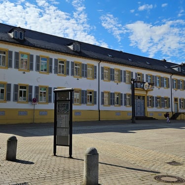
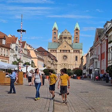
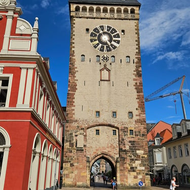
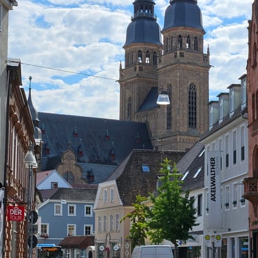
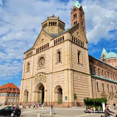
The early arrival and pleasant weather gave time for some tourism before dinner. The town centre has some interesting old buildings.
Day 8: Speyer to Mainz
Day 8 (6th August) Summary
Distance 62.5 miles: Total Ascent = 491m (1,610ft)*
Elapsed time = 7hr 02min: Moving time = 5hr 30min
Average moving speed = 11.4mph
*Ascent according to my Garmin Edge 1040 which usually agrees closely with Google Earth. My Edge 530 usually records about 15% less climbing which is more consistent with RWGPS. I assume that the newer hardware is more accurate.
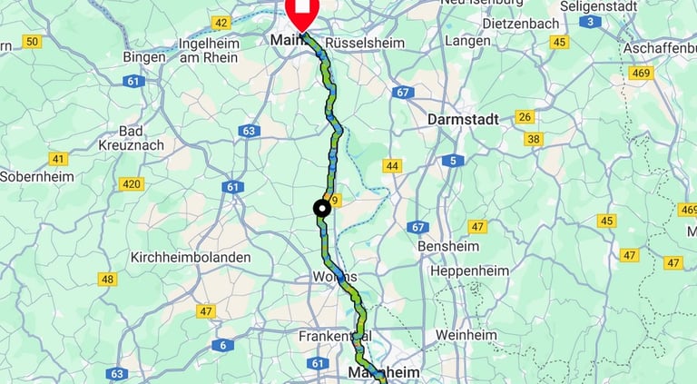


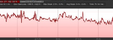
This was a cool and cloudy day with some rain which wasn't what I had expected for Germany in early August. Departure was at 08:37 in a temperature of 16C, rising to 19C in the middle of the day before dropping to 15C towards the end. I wore my cycling jacket all day both for warmth and in anticipation of the next shower.
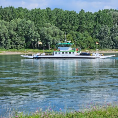
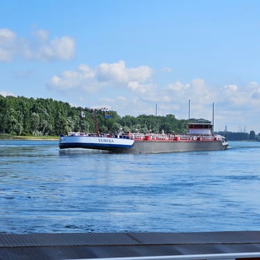
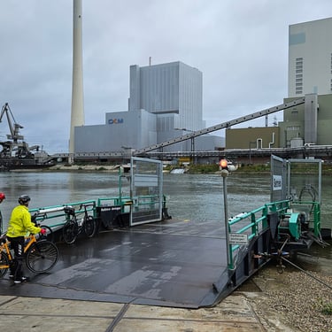
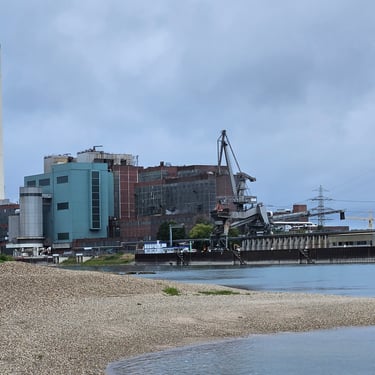
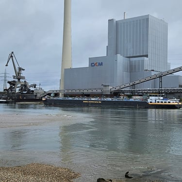
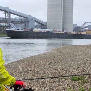
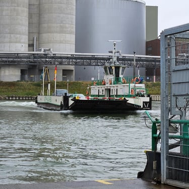
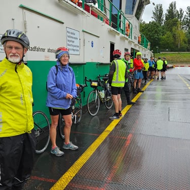
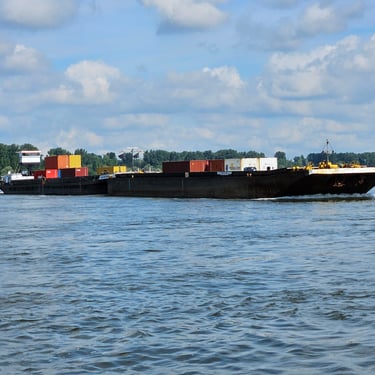
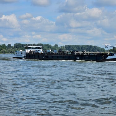
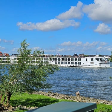
The first stop after 10.9 miles and an hour was at a ferry where there was a 20 minute wait during which time we had opportunity to observe the river traffic and some large industrial buildings (GKM means Grosskraftwerk Mannheim, which is a large coal-fired power station which also provides hot water for heating Mannheim). Then, after a further 5.5 miles the route crossed the Rhine on a bridge back to the west side after avoiding most of Ludwigshafen. A ¾ hour early lunch was taken in the small historic city of Worms which was almost the mid point of the day's cycling.
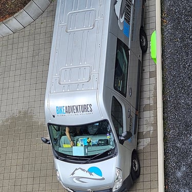
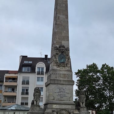
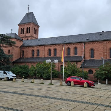
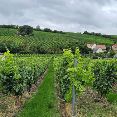
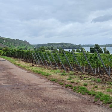
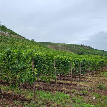
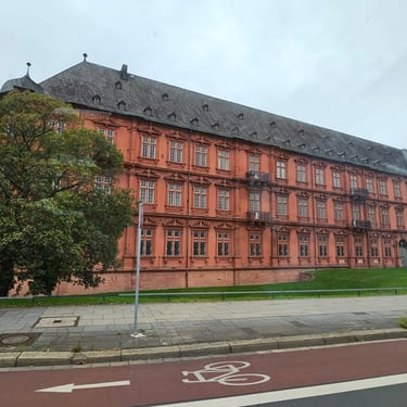
After Worms the route passed through more countryside and progressively more scenic terrain including many vineyards with arrival at the end of the day's route at a hotel in the old section of Mainz at 3:40pm. Some of the group including myself, however, were accommodated at the Waldhotel which was about 6 miles away outside of the city and were shuttled there in the van. Fortunately, dinner was available at the hotel so there was no need to be shuttled back into the city.
Day 9: Mainz to Koblenz
Day 9 (7th August) Summary
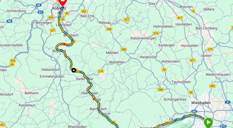
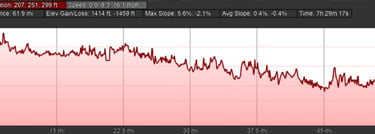
Distance 62.4 miles: Total Ascent = 384m (1,260ft)*
Elapsed time = 7hr 30min: Moving time = 5hr 39min
Average moving speed = 11.1mph
*Ascent according to my Garmin Edge 1040 which usually agrees closely with Google Earth. My Edge 530 usually records about 15% less climbing which is more consistent with RWGPS. I assume that the newer hardware is more accurate.


This was another cool day starting at about 15C and rising to 20C in the afternoon. Some of the group staying at the Waldhotel opted to join the day's route at the nearest point which reduced the number of people and bikes to be shuttled back into the city to one van load. The van, however, then had to get the baggage from two hotels which would keep both leaders busy for some time so I volunteered to act as sweeper and use the location sharing feature of Whatsapp to enable the leaders to follow the back-marker's progress.
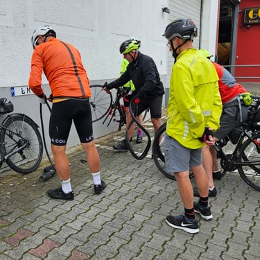
We finally got moving at 09:46, The route out of Mainz involved crossing the river on a bridge to join a good cycling route on the east side of the river. We had to stop after 50 minutes because one of the group had a puncture (actually yet another puncture the cause being eventually traced to the tyre) which took about 15 minutes to fix. After 2½ hours and 21 miles we reached the ferry of the day at Bingen. Fortunately, the ferry was waiting and we crossed with little delay with the van and the leaders waiting at the other side of the river which meant I could cease being sweeper. We made a quick visit to a shop in Bingen to get some supplies before continuing. It was, by now, nearly 1pm with 40 miles remaining so no time to loiter in a cafe.
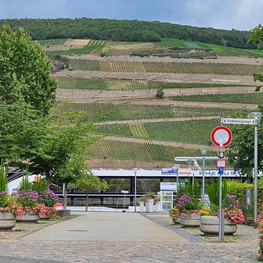
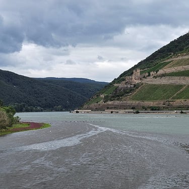
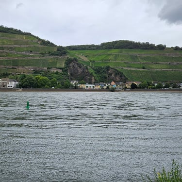
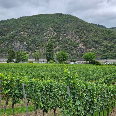
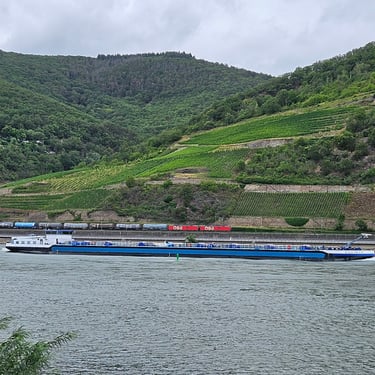
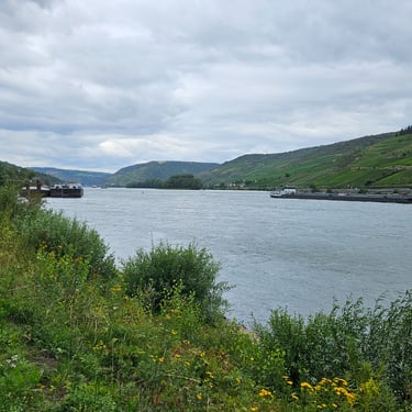
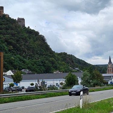
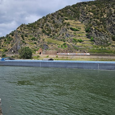
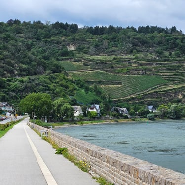
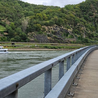
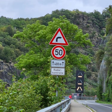
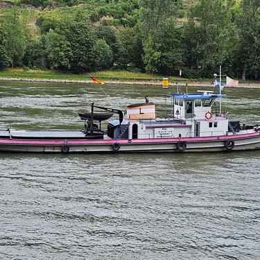
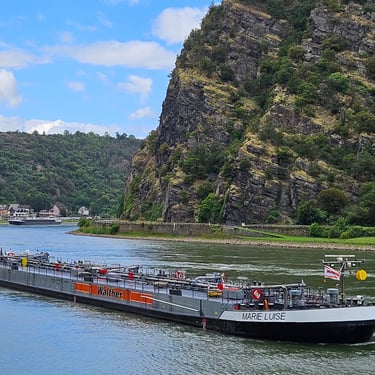
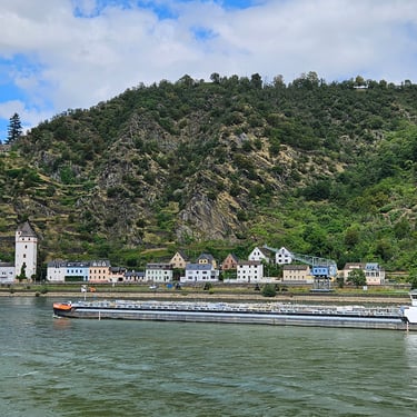
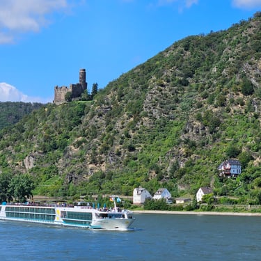
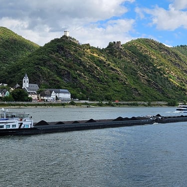
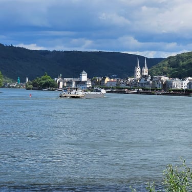
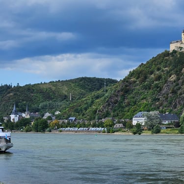
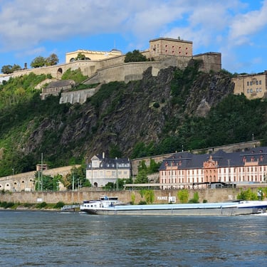
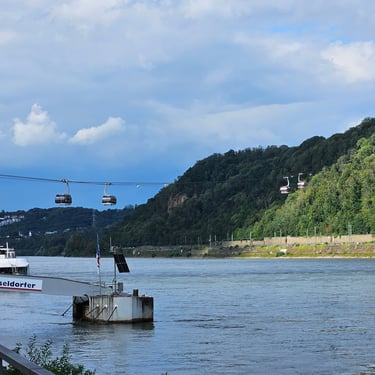
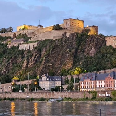
A 15 minute picnic stop was taken at 26 miles where there was a good viewpoint overlooking the river. We were now entering the Rhine gorge which provided a lot of interest with the challenge of manoeuvering big boats around sharp bends without hitting each other. At intervals we stopped to admire the view, take photos and eventually figured out that there was some form of traffic light system using large illuminated signs. A railway on the far bank added to the interest while numerous castles overlooked the gorge. There were also plenty of vineyards on the slopes. Fortunately, someone had provided a good cycle path which was mainly close to the river and I'll let the photos speak for themselves.
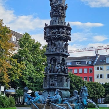
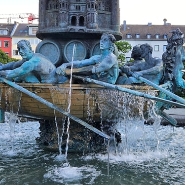
We finally reached the Hotel Morjan in Koblenz, at the northern entrance to the gorge at 5:15pm after what felt like a long day. Some of the city was seen while looking for dinner with a sculpture-cum-fountain being of particular interest.
Day 10: Koblenz to Cologne
Day 10 (8th August) Summary
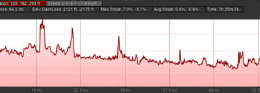
Distance 65.2 miles: Total Ascent = 378m (1,240ft)*
Elapsed time = 7hr 26min: Moving time = 5hr 48min
Average moving speed = 11.3mph
*Ascent according to my Garmin Edge 1040 which usually agrees closely with Google Earth. My Edge 530 usually records about 15% less climbing which is more consistent with RWGPS. I assume that the newer hardware is more accurate.
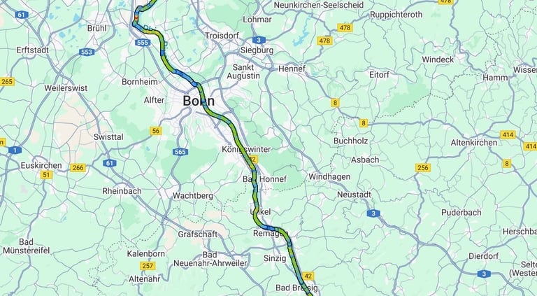


Start at 08:31 16C reaching 20C in afternoon. Cafe in Remagen 28.7 miles 1/2 hr plus picnic 20 mins 44.7 miles. 4pm arrival.
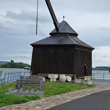
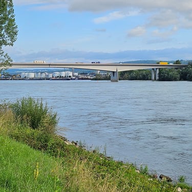
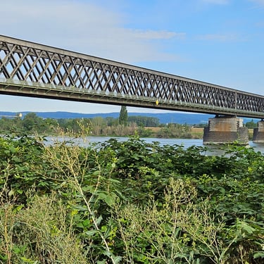
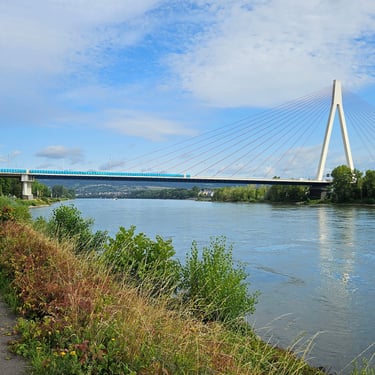
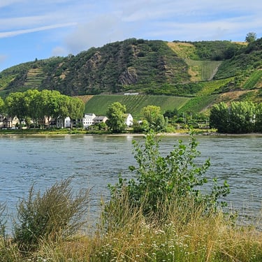
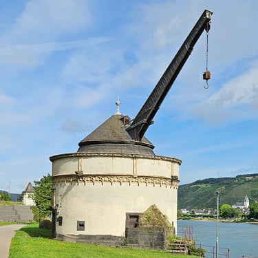
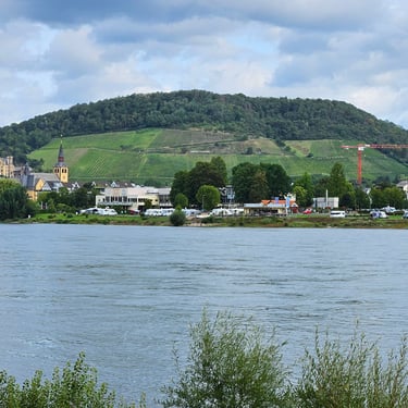
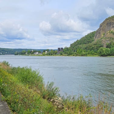
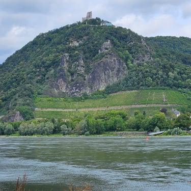
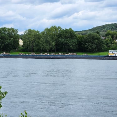
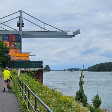
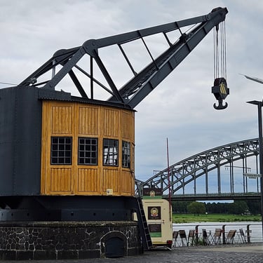
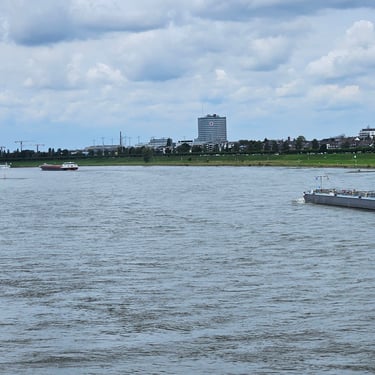
The day's route closely followed the west bank of the Rhine, except for some local deviations, and did not involve any river crossings. Departure was at 08:30 with the temperature at 16C, rising to 20C in the afternoon. Most of the day was spent on a good cycle path providing a good view of the river traffic and riverside features such as old cranes plus bridges of various designs. Initially the river was in a valley but the topography progressively flattened. The route passed numerous riverside urban areas but, in general, these were not obstacles due to the riverside path.
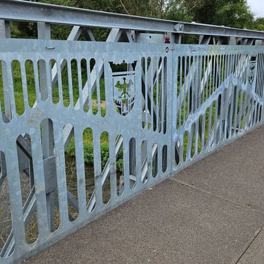
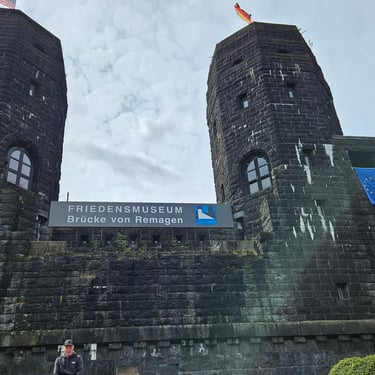
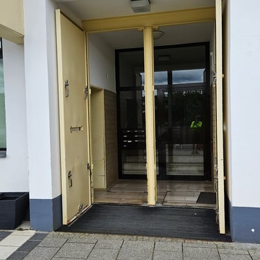
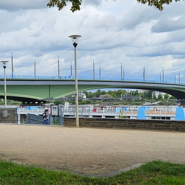
An alternative route had been provided in case a new bridge on the cycle route at 25 miles was not yet open, but it was open, and a good example of decorative engineering. A half hour late morning refreshment stop was made after 28.5 miles in Remagen. The cafe owner explained that it was closed during the winter due to the risk of flooding and pointed out metal flood doors on the entrance. Passing Bonn was easy due to the cycle path alongside the river although there was a local deviation around a container terminal.
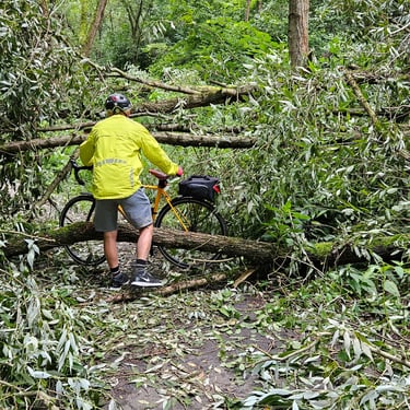
A 20 minute river bank picnic was taken after 44.7 miles at about 2pm to provide some further refreshment. The landscape then became more industrial as we progressed with two further deviations away from the river. About 6 miles from the end there was the challenge of getting through a tree which had collapsed onto the cycle path. We succeeded, and reached the hotel in Cologne at about 4pm.
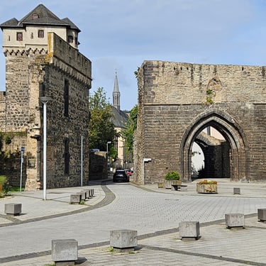
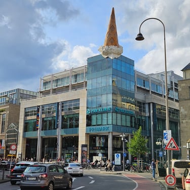
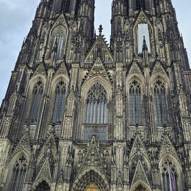
Later, there was some exploration of the city including the outside of the cathedral although perhaps a more remarkable sight was a large decorative ice cream cone on top of a shopping arcade. We didn't find an attractive restaurant in that area and settled for some inexpensive but filling Chinese food in a shopping arcade.
Day 11: Cologne to Duisberg
Day 11 (9th August) Summary
Distance 53.2 miles: Total Ascent = 211m (690ft)*
Elapsed time = 7hr 35min: Moving time = 4hr 41min
Average moving speed = 11.4mph
*Ascent according to my Garmin Edge 1040 which usually agrees closely with Google Earth. My Edge 530 usually records about 15% less climbing which is more consistent with RWGPS. I assume that the newer hardware is more accurate.
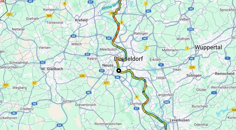


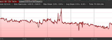
This was another relatively short day of 53 miles. Departure was at 08:50 with similar weather to the previous day - a mixture of sun and cloud, but dry, and the temperature gradually rising from 16C to 20C. The first part of the day roughly followed the left bank of the river.
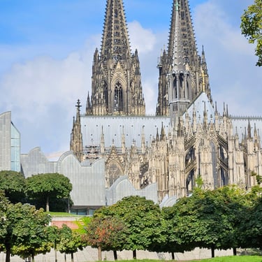
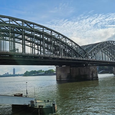
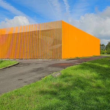
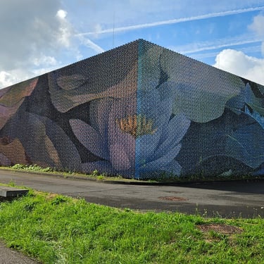
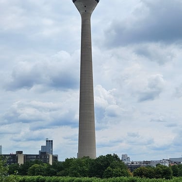
About 1.5 miles after the start there was a view of the cathedral in the morning sun which showed a much cleaner building than the grimy view we had had on the previous evening. Between 7 and 9 miles the route passed a cluster of Ford factories where every road seemed to go to a Ford facility. Fortunately, there was a good cycle path through the area. Soon after this route was along the top of a flood embankment and encountered an interesting building which changed colour according to the direction it was viewed from.
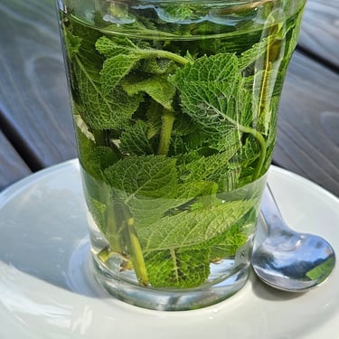
At 19.5 miles there was a ferry across the river which operated relatively infrequently and there was a strategically placed cafe close by where the whole group waited for the next crossing. I ordered some mint tea and was surprised to receive a large glass of hot water full of fresh mint leaves which was a refreshing change from a little sachet of dried mint. The ferry arrived after a half hour wait.
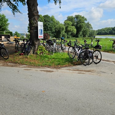
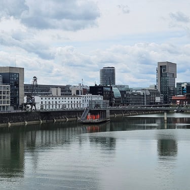
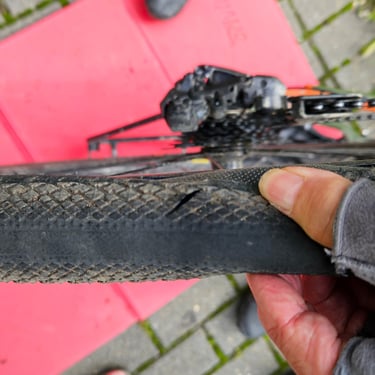
The next stop was after 33.7 miles at a cafe in Dusseldorf where nearly an hour was spent in refuelling (including another glass of real mint tea). By now it was after 2pm with 20 miles remaining so time to get back on the saddle for an uneventful afternoon. There was a bit of excitement, however, about 3 miles from the end, when there was a bang from one of the bikes (unusually I was in a group of several rather than just my companion Richard) and Sue stopped with a completely flat rear tyre. Closer examination revealed a nasty cut and soon a cluster of men were busy addressing the problem. It was a tubeless tyre and once off the wheel it could be seen that there wasn't much sealant (it had probably beeen used up keeping the cut sealed until there was none left). A tyre boot was improvised, an inner tube fitted and we were back on our bikes after a half hour delay. Sue led the way to the hotel so that support staff were available in case of futher problems.
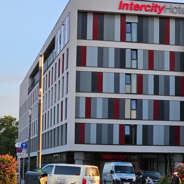
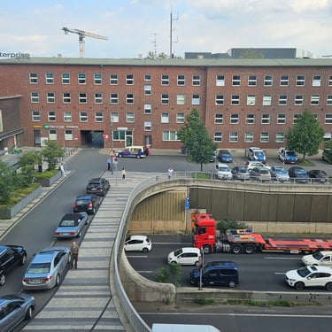
The Intercity Hotel in Duisberg was reached at 4:30pm. A replacement tyre was obtained although the best that a large bike shop could offer was a Schwalbe Marathon so Sue had to endure more weight and less comfort for the final three days.
Day 12: Duisberg to Arnhem
Day 12 (10th August) Summary
Distance 71.5 miles: Total Ascent = 331m (1,085ft)*
Elapsed time = 7hr 01min: Moving time = 5hr 35min
Average moving speed = 12.8mph
*Ascent according to my Garmin Edge 1040 which usually agrees closely with Google Earth. My Edge 530 usually records about 15% less climbing which is more consistent with RWGPS. I assume that the newer hardware is more accurate.
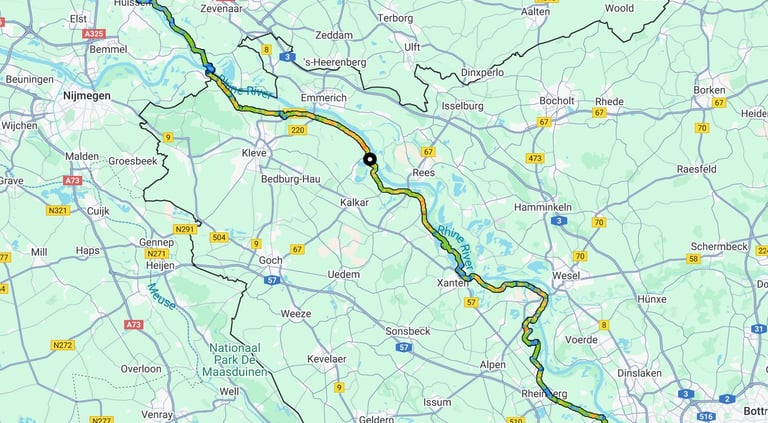


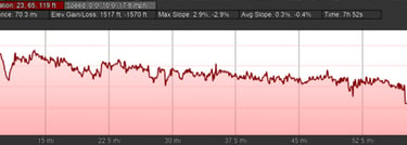
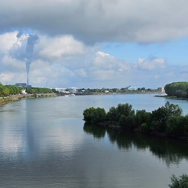
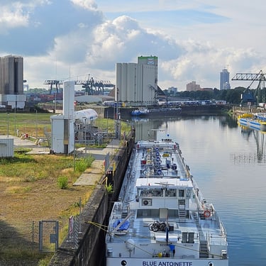
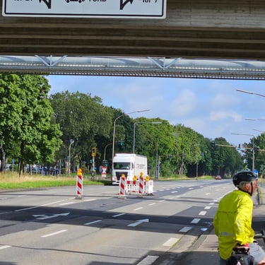
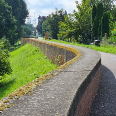
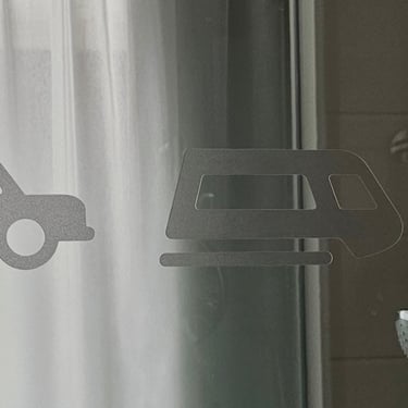
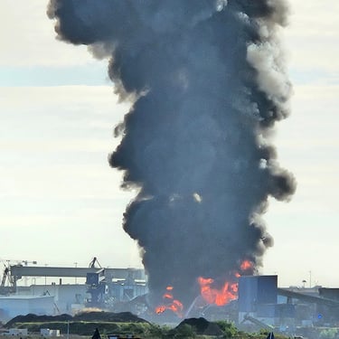
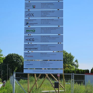
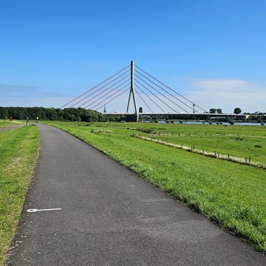
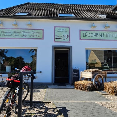
Firstly, when having my shower I noticed that the shower screen was engraved with different forms of transport. This was long day of over 70 miles so I was on the bike before 08:30. The temperature was about 16C and slowly rising into the low 20s C in the afternoon. It took about 40 minutes of slow cycling to get out of the urban area. After less than 2 miles and still in Duisberg I noticed a big plume of smoke from a large fire. I later discovered that this had made the news headlines and was at a recycling centre. Better progress was then made until 18 miles when a sign was encountered indicating closure of the cycle path along the flood embankment. Given that the route ahead was clear we opted to continue until, after a further 1.4 miles, it became evident that the embankment was becoming a construction site so a diversion had to be improvised. The first attempt to get back on route after about 1.5 miles proved futile although there was a fine sign which revealed that about 4km of embankment was being repaired. The second attempt, after a further 1.5 miles, to get back on route was successful.
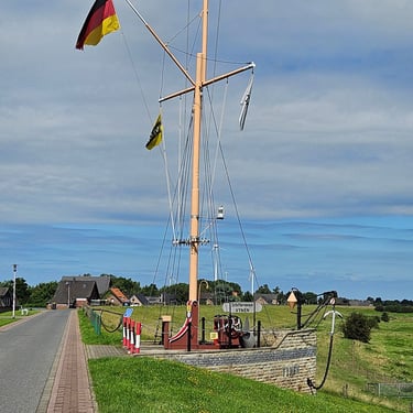
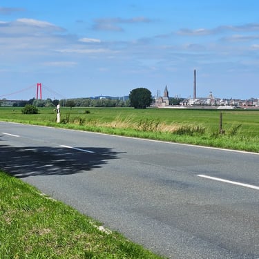
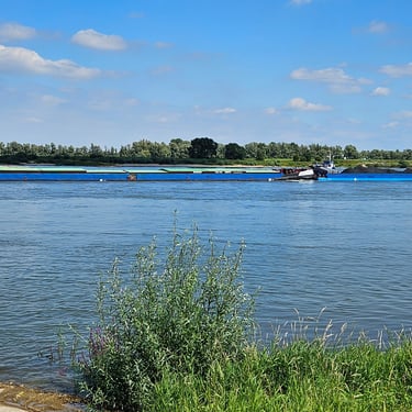
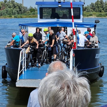
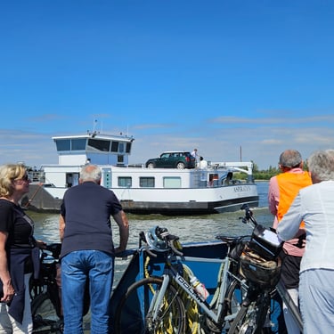
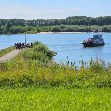
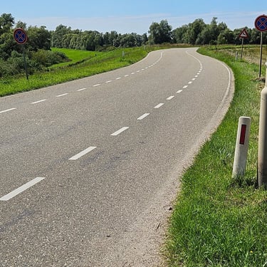
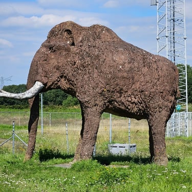
Good progress was then made until, after 31 miles, the other cyclists I was with decided to turn off route to explore Xanten, which had some history, but I decided to press on because the published schedule for the ferry at Millingen showed it was hourly with a departure at 2pm. I didn't get very far, however, when I encountered the Bike Adventures van outside a cafe. As it was almost 11:30 I deemed this a good opportunity for a refreshment break. After half an hour, and nobody else appearing, I was back on the bike. Progress was good until, at 50.5 miles, the road ahead was closed for reconstruction of a small bridge. I figured out an alternative which route which included some cycling through a field. At 57 miles I crossed into the Netherlands, not that there was any sign to say so, and half a mile later reached the ferry terminal where the van was waiting and I had a few minutes to wait until the next departure. I had average 13 mph for the previous two hours which, for me, is speeding! It was a small ferry for pedestrians and cyclists and I was joined for the remainder of the day by Jimmy, who had been on the van due to a painful hip.
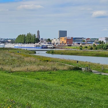
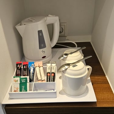
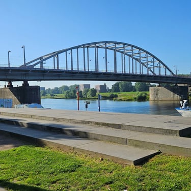
The final 14 miles into Arnhem were on good cycle paths or quiet roads with few features of interest and we reached the hotel at about 3:30pm. The Holiday Inn Express provided a pleasant surprise - tea and coffee making facilities in the room. I then spent about two hours wondering what had happened to Richard, my room mate, whom I had last seen heading towards Xanten. He finally appeared and explained that he had been to look for a Polish war memorial near Arnhem.
Day 13: Arnhem to Nieuwegian
Day 13 (11th August) Summary
Distance 49.1 miles: Total Ascent = 345m (1,130ft)*
Elapsed time = 6hr 03min: Moving time = 4hr 08min
Average moving speed = 11.9mph
*Ascent according to my Garmin Edge 1040 which usually agrees closely with Google Earth. My Edge 530 usually records about 15% less climbing which is more consistent with RWGPS. I assume that the newer hardware is more accurate.
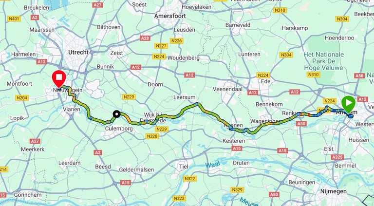


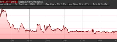
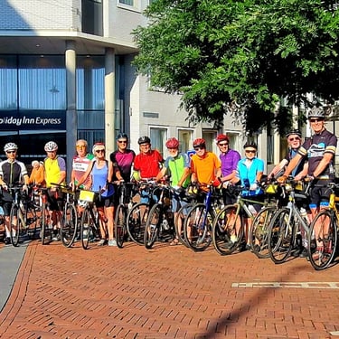
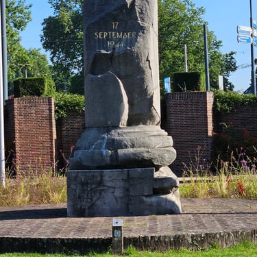
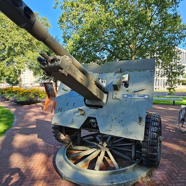
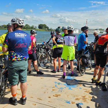
At just under 50 miles this wasn't going to be a long day on the saddle. The first activity was to get everyone together for a group photo, which hadn't so far been taken. At 21C, the temperature was warmer than in recent days and by late afternoon was in the upper 20s C, the warmest of the whole trip. There was a group departure at about 9:15 as Rob, who had a military background, offered to guide is to a few memorials to Operation Market Garden. After this we gradually spread out according to rider's speed.
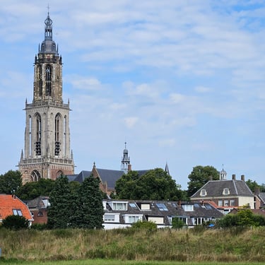
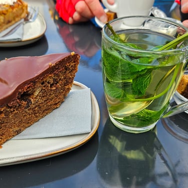
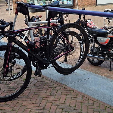
A cafe stop was made in Rhenen (20 miles) at about 11:30am. This small town has a magnificently ornamental church tower. We first tried a cafe by the river which was very busy but, after waiting 20 minutes without getting anything ordered, went to another cafe in the town which served up a very nice piece of cake and tea made with fresh mint. Outside the cafe was an interesting bike rack where bikes are parked by hooking the nose of the saddle over a bar. Finally, duly refreshed and over an hour after reaching the town we were able to continue with nearly 30 miles remaining.
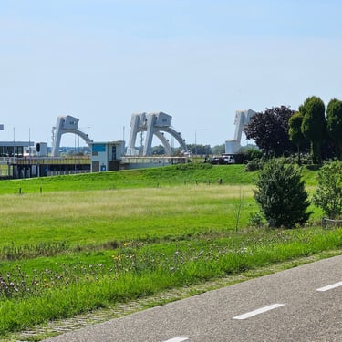
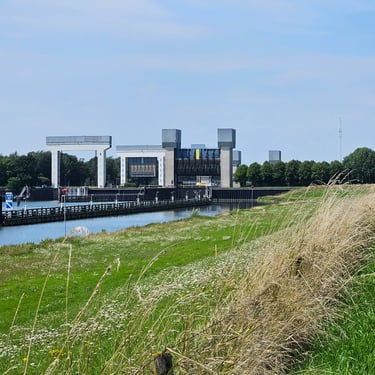
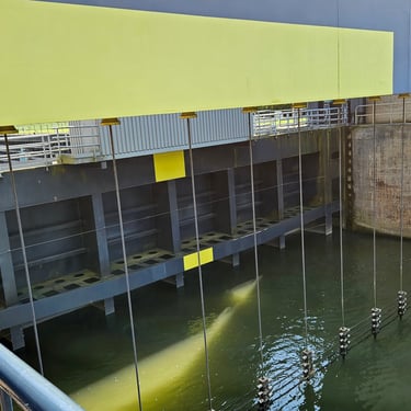
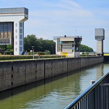
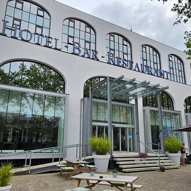
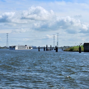
At about 28 miles there was a distant view of two tidal gates on the river. At 32.5 miles we stopped to take a close look at some large navigation locks. There was what looked like a wire fence to stop boats hitting the lock gates. With nothing else to divert our attential, arrival at the Fletcher hotel in Nieuwegein was at about 3:15pm and we were happy to get into the cool building.
Day 14: Nieuwegian to Hook of Holland
Day 14 (12th August) Summary
Distance 65.4 miles: Total Ascent = 385m (1,260ft)*
Elapsed time = 7hr 52min: Moving time = 6hr 04min
Average moving speed = 10.8mph
*Ascent according to my Garmin Edge 1040 which usually agrees closely with Google Earth. My Edge 530 usually records about 15% less climbing which is more consistent with RWGPS. I assume that the newer hardware is more accurate.
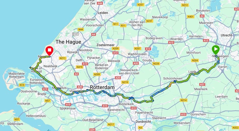


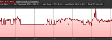
Start 09:14. Cool 16C with some rain to mid morning. Ferry at 28.2mi wait 30 mins. Rising to low 20s for rest of day. Quick picnic in Rotterdam 43.7 mi. Hook of H 57.6 mi then ice cream before further 6 miles to hotel.
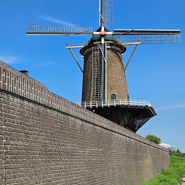
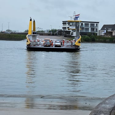
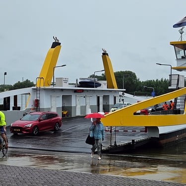
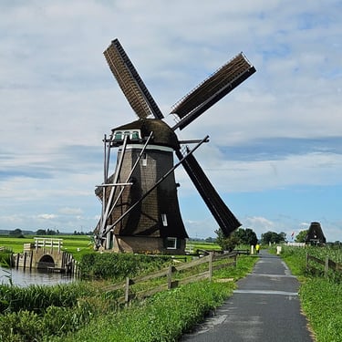
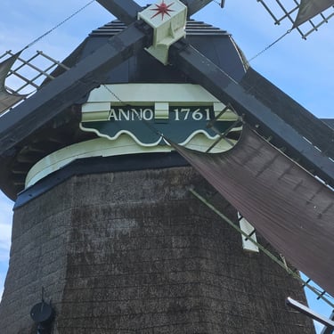
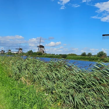
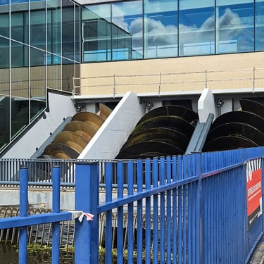
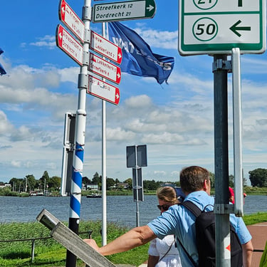
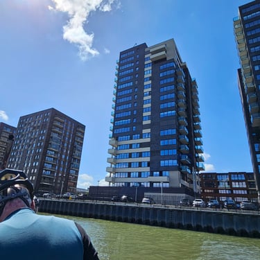
The final day, but fairly long at 65 miles. Departure was at about 9:15 in the usual 16C temperature but damp weather with rain at times during the first part of the morning. The weather gradually got brighter and warmer but a westerly wind became more pronounced as we approached the coast. At 14 miles we had to wait a few minutes in the rain for the ferry across the river at Schoonhoven, but within 10 minutes we were able to continue. About half an hour later we stopped to admire an old windmill (actually a wind pump) which appeared to be in working order. At about 26 miles there was a row of them alongside a large channel. This channel ended at a more modern pumping station which used Archimedes screws to lift water into the river.
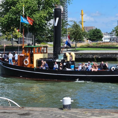
Shortly after this there was the challenge of finding the right terminal for the second ferry of the day, to Ridderkirk. It wasn't the first terminal we went to. Our ferry showed up after nearly half an hour and it was nearly an hour from arrival at the river to being back on the saddle. By this time it was almost 1pm and about 35 miles remaining which included getting through Rotterdam.
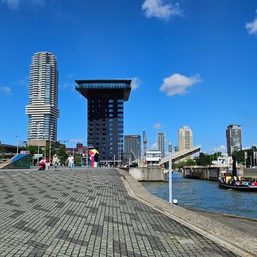
We were getting hungry. Many in the group opted to visit a busy cafe at 36 miles but Richard and myself chose to continue. We made a couple of short diversions to look for a food shop but eventually found a waterside bench at 43.7 miles and approaching 3pm and had a quick picnic using food in our bags. Fortunately, we were now almost through the city so the post-picnic cycling was a bit faster with the main impediment being a headwind. Much of this section of the journey was on a good cycle path alongside a large waterway with no shelter and I made a note to myself to try drop handlebars to see if they would reduce the wind drag.
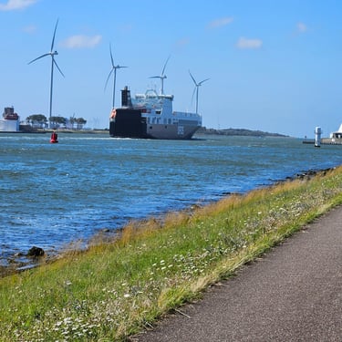
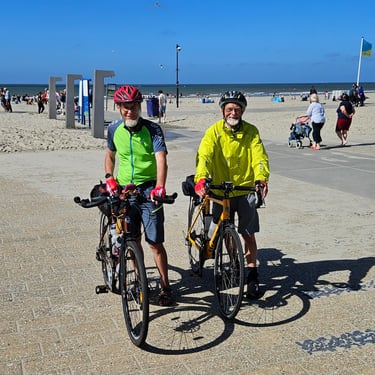
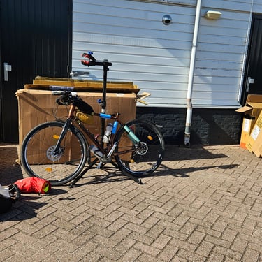
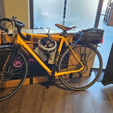
Finally, at nearly 4:15pm and after 57.6 miles we reached the Hook of Holland. We were the first there as we hadn't loitered in a cafe and Andy took a photo to go with the one at the start. This, however, wasn't the end of the trip. It was another 6.4 miles to the hotel but first we had a celebratory ice cream. Once we reached the hotel the remaining task was to get my bike boxed up ready for its trip home. Richard was going to use the ferry so he didn't need to do any dismantling although some of his baggage went into my box to reduce his travel weight.
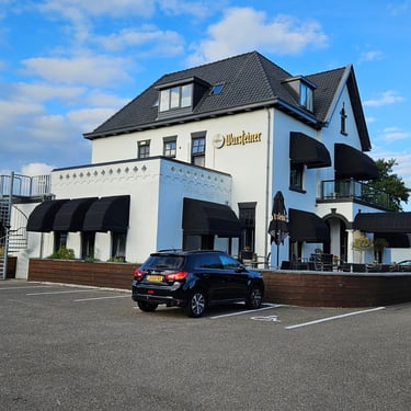
The accommodation was interesting with a small sitting room and petite shower room downstairs and a bedroom above. Dinner was the most expensive of the whole trip. The hotel considered itself to be a posh restaurant and set prices accordingly.
The Journey Home and Concluding Remarks
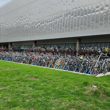
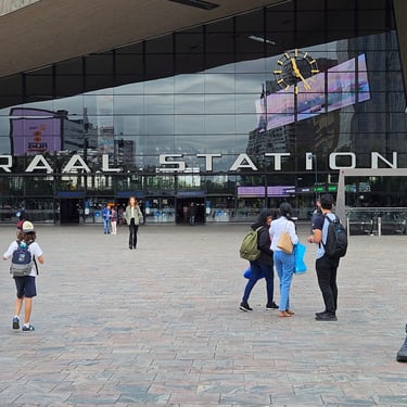
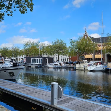
I had originally looked at air travel options for getting home, then checked the ferry and finally thought to check trains. I discovered that there was Eurostar direct from Rotterdam to St Pancras and, at £75, the 14:28 train from Rotterdam was very reasonably priced with arrival at St Pancras about 3 hours later. So I booked it and it proved to be a smooth experience. I had several hours wait in Rotterdam and had time to admire an enormous bicycle rack (I'm mystified how anyone can find their bike) and a fine statue. I reached home early evening.
The weather was a little cooler than I had expected for Europe in August. I had feared a heatwave or torrential rain and floods but fortunately there were neither. Overall it was a very enjoyable trip with a wide variety of scenery, good leaders and pleasant companions.
