Portugal Top-to-Bottom 2024
Contents
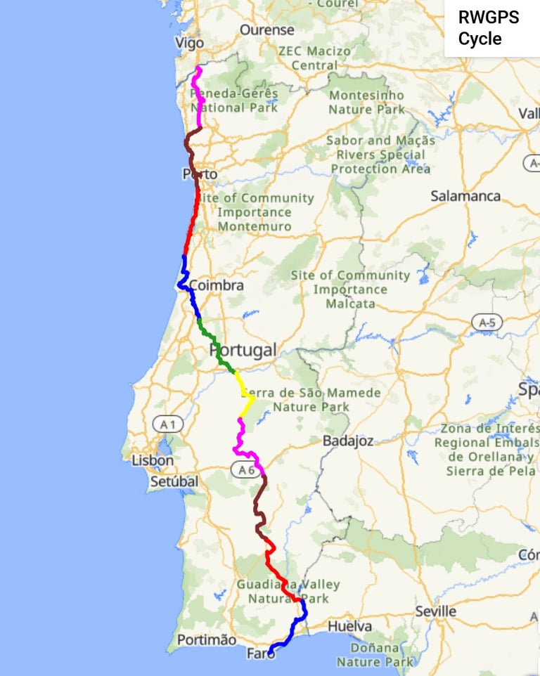

This tour is a popular trip with very favourable comments from participants on other tours who have done it in recent years. It was my third trip of 2024 but I never know if something might prevent me doing it in a subsequent year.
Preparations and getting to the Start
This trip was said to be relatively easy so I didn't do any specific training after the previous trip through the Alps. I decided to have a change of bike so my 2 x 9 build with an 11 - 36 cassette went into the box and the 2 x 11 (with 11 - 42 cassette) stayed at home. I would discover in due course whether I needed the lower gears of the latter bike.
After consideration of the travel options for getting me to Porto airport by about 14:00 on Wednesday 2nd October, I decided to use the 09:55 EasyJet flight from Gatwick to Porto. This necessitated either a very early journey from home or staying the previous night in the vicinity of Gatwick airport. I opted for the latter as the less stressful option with a reasonably-priced afternoon rail journey from home to Gatwick airport.
Warm, sunny weather was to be expected based on the experience of those who had made this trip in recent years. However, as always, I packed my waterproofs.
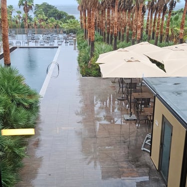
Travel planning had not taken into account the effect of rain at Porto airport which resulted in delayed flights. In my case we were boarded onto the plane about 15 minutes late and then told the plane would have to wait at Gatwick until it was given an arrival slot at Porto which could be up to two hours late. In the event the delay was about 80 minutes. I met up with many of the group including my friend Richard, with whom I would be sharing a room, in the airport arrivals hall.
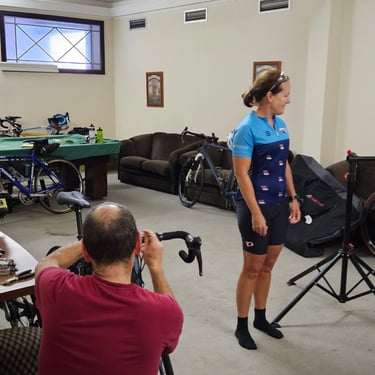
Participants were either collected from the centre of Porto or at the airport and had a wet coach journey to Valenca where the bikes and boxes were waiting in a room to be assembled (if necessary) and checked ready for the next day. It was a big group with 23 particpants plus two leaders. Dinner was taken in a restaurant about 5 minutes walk away as the hotel didn't serve dinner.
Day 1: Valenca to Barcelos
Day 1 (3rd October) Summary
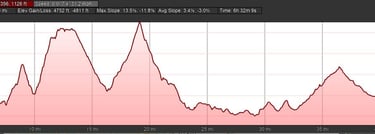
Distance 49.6 miles: Total Ascent = 1,356m (4,450ft)*
Elapsed time = 6hr 32min: Moving time = 4hr 46min
Average moving speed = 10.4mph
*Ascent according to my Garmin Edge 1040 which usually agrees closely with Google Earth. My Edge 530 usually records about 15% less climbing which is more consistent with RWGPS. I assume that the newer hardware is more accurate.
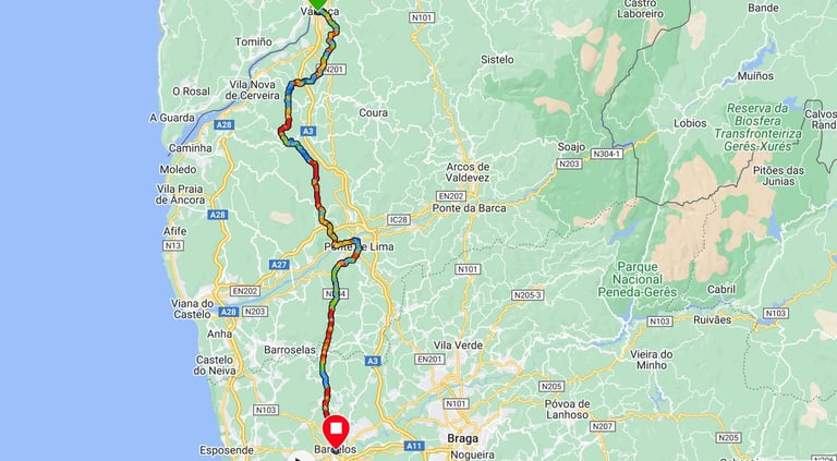


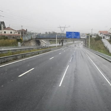
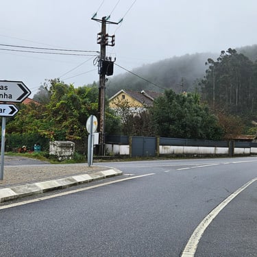
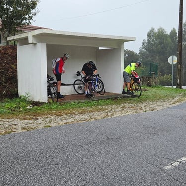
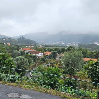
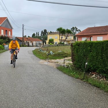
Breakfast was adequate rather than generous with the restaurant not having sufficient capacity for a crowd of people wanting food at the same time. We got on the bikes at about 08:40. This was one of the hillier days of the trip with a distance of just under 50 miles. The weather forecast anticipated drizzle and was basically correct although the first hour and the last half hour were dry and at times the drizzle turned into rain. The temperature was cooler than I had expected for Portugal at about 19C at the start, dropping to 16C mid-morning when the rain arrived (and a conveniently-located bus shelter provided a place for some to put on their waterproofs, and crept up to about 20C in the afternoon.
There were two relatively big hills in the first half of the ride and the first of these was quite challenging with sections of 15% gradient, and occasionally steeper when care was needed to keep the front wheel on the ground. My legs had had three days rest since my last trip on a bike and were able to cope, probably helped by the Alpine hill climbing, although I was starting to miss the lower gearing of my other bike.
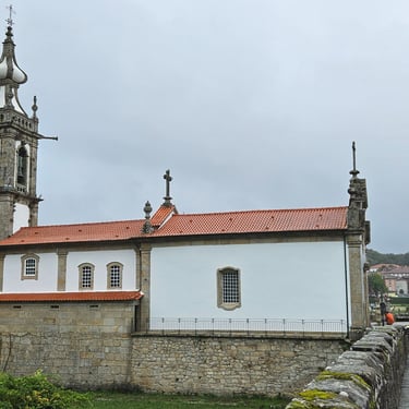
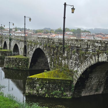
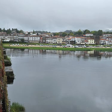
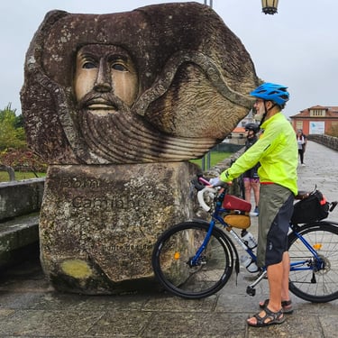
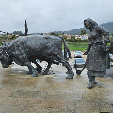
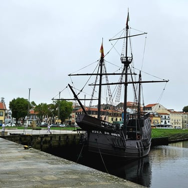
The morning half of the ride was mainly on quiet roads through very quiet villages followed by a long lunch break at Ponte de Lima (about 60% of the distance) which was a scenic town on a river with an old bridge and several interesting statues.
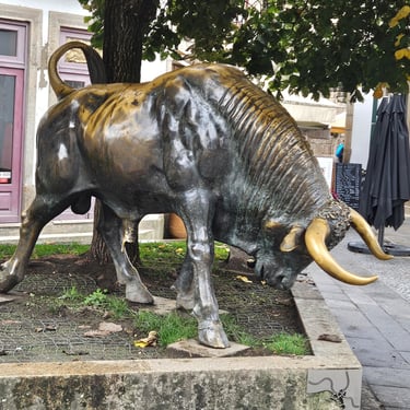
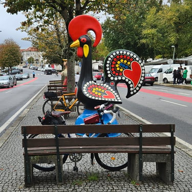
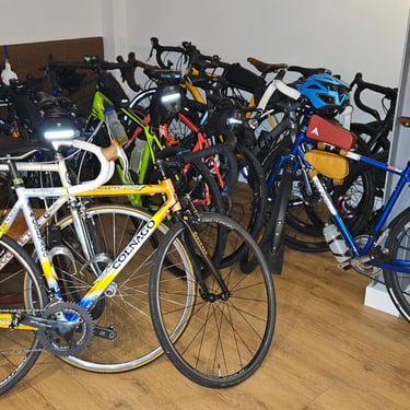
The afternoon cycling to Barcelos was on a busier road. Barcelos prides itself on a legend about a rooster and this is commemorated by many cockerel statues. Some of the ride partipants stayed at a hotel and others, including myself, in furnished apartments with dinner and breakfast taken in adjacent properties owned by the same people. Bikes were lodged under the stairs in the entrance hall.
Day 2: Barcelos to Espinho
Day 2 (4th October) Summary
Distance 57.5 miles: Total Ascent = 485m (1,585ft)*
Elapsed time = 6hr 46min: Moving time = 4hr 49min
Average moving speed = 11.9mph
*Ascent according to my Garmin Edge 1040 which usually agrees closely with Google Earth. My Edge 530 usually records about 15% less climbing which is more consistent with RWGPS. I assume that the newer hardware is more accurate.
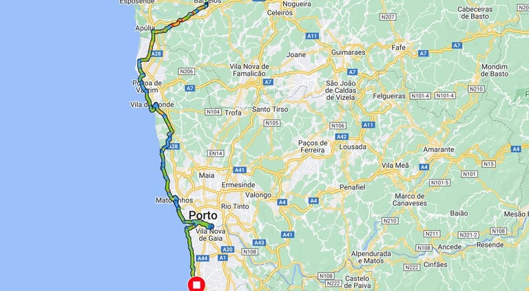


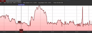
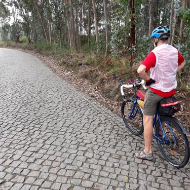
This day will be remembered most for cobbled roads which had ceased to be a novelty and had become a pain in the posterior. They also noticeably increased the rolling resistance so pedalling over cobbles was not only uncomfortable but also harder work than cycling over smoother surfaces. Some sections of the route along the coast, however, were on pleasant cycle tracks. Departure was just before 9am and started with light drizzle and mist with the temperature around 18C and rising to the low 20s C in the afternoon.
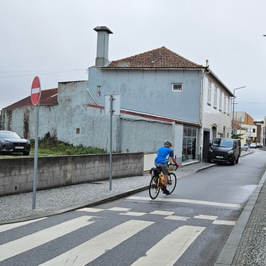
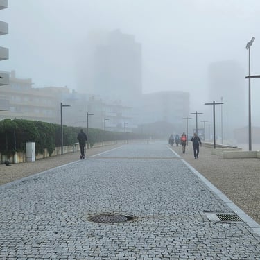
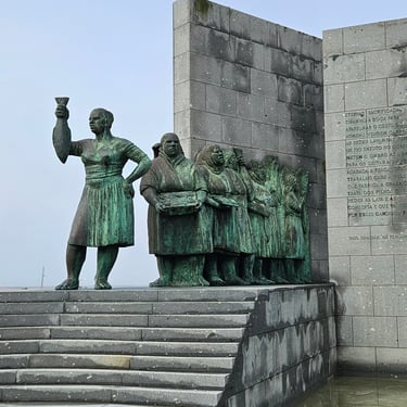
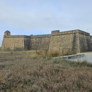
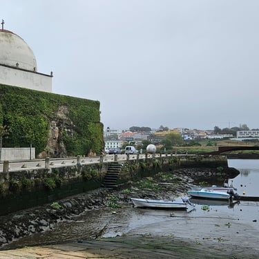
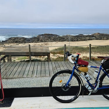
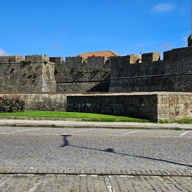
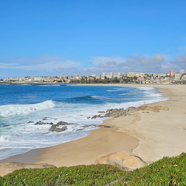
Exit from Barcelos involved a steep descent to cross the river followed by a similarly steep climb. The first 13 miles was south-westwards from Barcelos towards the coast mainly on fairly busy roads but also some smaller roads through villages where, on three occasions, the route went the wrong way down one-way streets (what's the Portuguese rule about this - it's not covered here?). Once at the coast it was initially difficult to see the sea due to the mist although this gradually cleared as the morning progressed and was finally replaced by bright sunshine. We then roughly followed the coast southwards to Porto passing some items of interest along the way as well as innumerable holiday apartment blocks. Povoa de Varzim has history with a fort, a small harbour and a statue featuring fishermens' wives.
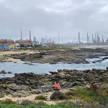
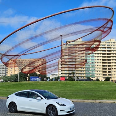
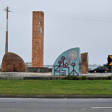
At about noon, and 30 miles pedalled, we found a pleasant cafe next to the sea and lingered there for over an hour. After this there were several miles of an industrial area after which I initially I thought we were in Proto because we had to go inland to cross a bridge over a river. Wrong! The real river was another 4 miles after passing a strange piece of metalwork in a roundabout (a sculpture based on a fishing net) and a fort. where we had to pedal about 3.5 miles inland to cross a bridge (fortunately at low level) over the river and then pedall another 3.5 miles on the other side of the river to return to the coast.
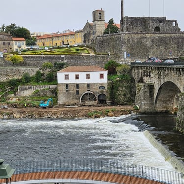
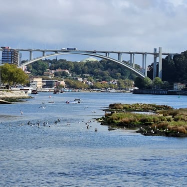
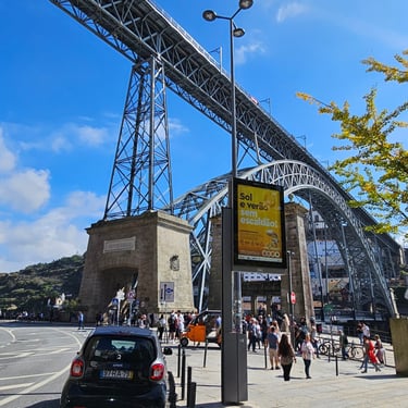
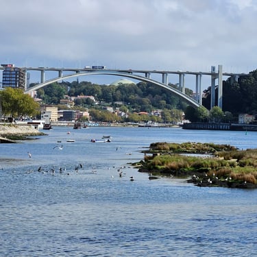
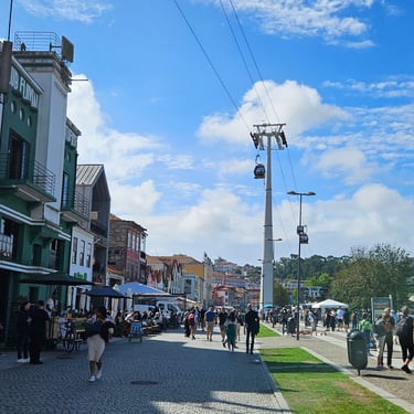
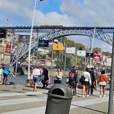
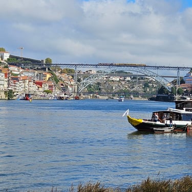
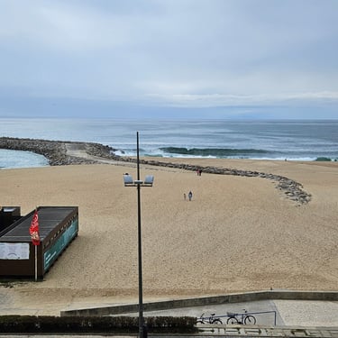
The weather in Porto was sunny and, for a while felt quite warm in the sheltered valley alongside the river. The route, up one side of the river, over a low-level bridge and then down the other side, was crowded (FC Porto had been playing at home to Manchester United on the previous evening could have been a factor), which slowed progress. As befits an engineer, I was interested in the bridges over the river and also the cable car system which connected the riverside to the upper area. After getting back to the coast it was a further 10 miles of near-flat cycling to the hotel in Espinho.
Day 3: Espinho to Praia de Mira
Day 3 (5th October) Summary
Distance 45.6 miles (not including 0.9 miles on ferry): Total Ascent = 250m (820ft)*
Elapsed time = 5hr 40min: Moving time = 4hr 4min
Average moving speed = 11.4mph
*Ascent according to my Garmin Edge 1040 which usually agrees closely with Google Earth. My Edge 530 usually records about 15% less climbing which is more consistent with RWGPS. I assume that the newer hardware is more accurate.
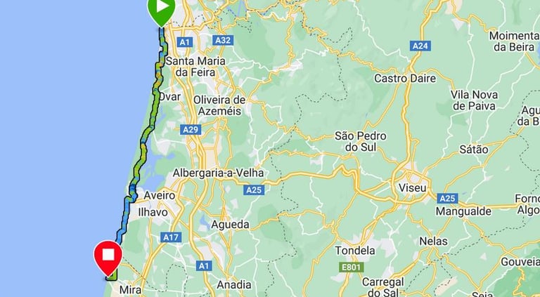


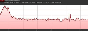
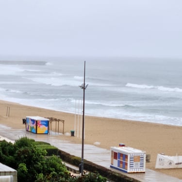
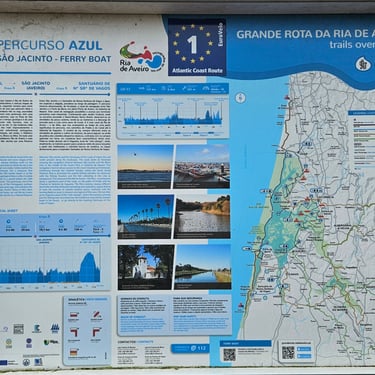
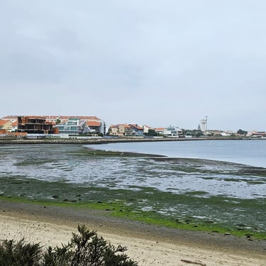
This was a relatively short day of about 46 miles. The day started grey and damp with the weather gradually improving but none of the previous afternoon's sunshine. Departure was at about 08:45. The route included a trip on the Alveiro ferry at about 28 miles and research had revealed that there were departures at 11:40 and 12:25 (followed by a big gap until 14:15), so I aimed for the former which meant no refreshment stops along the way. The temperature started at about 19C and crept up to 21C. A southerly wind was more of an inconvenience than a big impediment as the route was set in slightly from the coast and often sheltered by trees. The route was almost flat and, for much of the morning, followed the edge of the Aveiro lagoon.
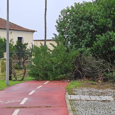
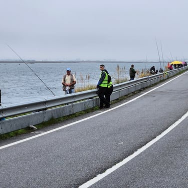
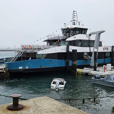
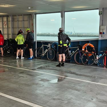
There were some sections of nice cycle paths although, in one place, this suddenly terminated in a bush. we also passed a fishing competion on the bank of the lagoon. This must have been a serious competition as the anglers were being closely monitored. The highlight of the day was the battery-powered ferry between São Jacinto and Forte da Barra which had recently been put into service. I arrived in plenty of time to see the waiting boat connected to the shore with some thick cables. A sign said that this was part of the Euro Velo route 1, which I had previously encountered in Ireland. The fare was €1.55 (after a senior citizen discount - I looked old enough!) and the 0.8 mile crossing took about 10 minutes.
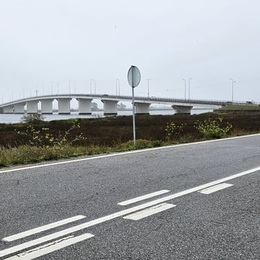
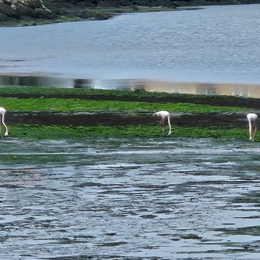
Once across the water it was time to investage the refreshment stops in Forte da Barra. We ended up at a small cafe where we could sit next to a window with the bikes on the other side of the glass. It was run by a friendly lady of Brazilian origin who created something roughly resembling a steak and cheese sandwich. Soon after this stop we went over a fairly long road bridge crossing another branch of the lagoon (quite a big bridge which seemed to mainly serve what looked to be a small holiday resort are) and saw some other members of our group who were stopped and appeared to be admiring the view. Then they pointed out the flamingos on the mud flats.
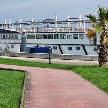
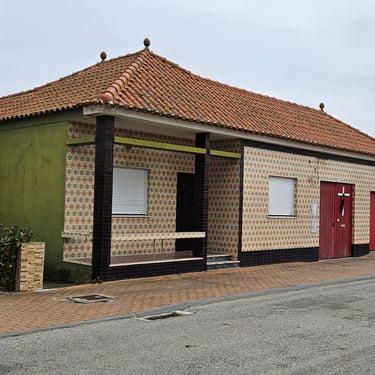
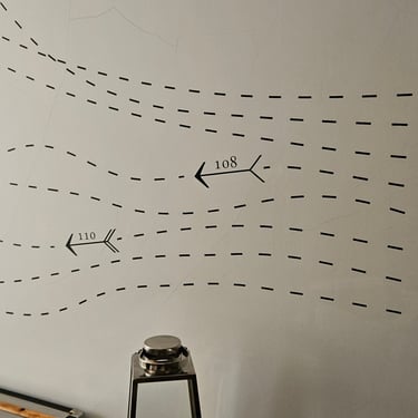
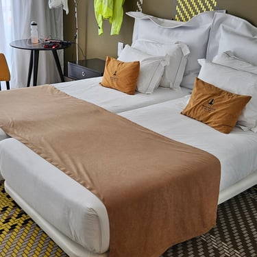
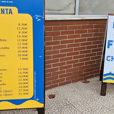
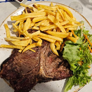
After this brief stop the route continued southwards just inland from the coast. There was the Costa do Sal boat (which the internet says is a hotel) and further along we passed through a village where the front walls of many homes were decorated with ceramic tiles. Why? The small hotel seemed to have a maritime theme: On exit from the lift we were confronted by lots of numbered wiggly lines with arrows. Follow the right number to one's room. The beds were half filled with an array of pillows and cushions. Dinner was taken at the Kinzana restaurant in the town. What we assumed from the menu was a cutlet proved to be a big piece of steak. Somewhat more food than expected but good fuel given the weather forecast for the next day.

Day 4: Praia de Mira to Pombal
Day 4 (6th October) Summary
Distance 56.1 miles: Total Ascent = 930m (3,050ft)*
Elapsed time = 6hr 01min: Moving time = 5hr 5min
Average moving speed = 11.0mph
*Ascent according to my Garmin Edge 1040 which usually agrees closely with Google Earth. My Edge 530 usually records about 15% less climbing which is more consistent with RWGPS. I assume that the newer hardware is more accurate.
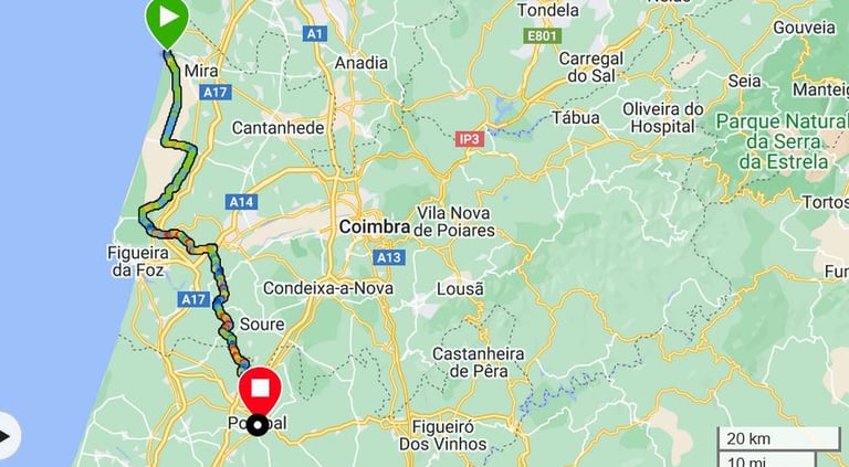


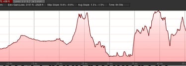
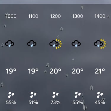
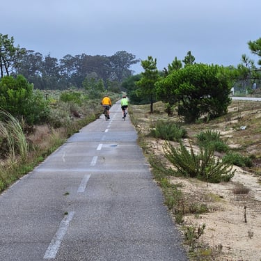
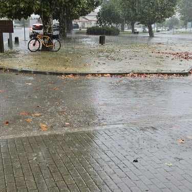
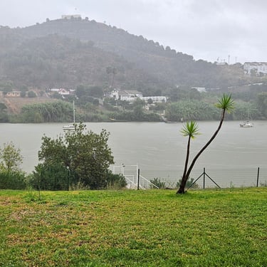
Rain was forecast and was abundant. There were occasional drier interludes but also some periods of torrential rain boosted by a SW wind that was in the wrong direction for those cycling southwards with, once moving away from the coast, some hills which were bigger than anything in the previous two days. The temperature ranged between 19C and 21C. It was 56 miles of fairly hard work. Few photos were taken along the ridedue to the hassle as extracting my phone from under the waterproof clothing.
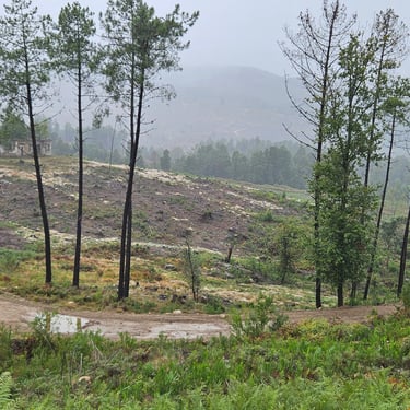
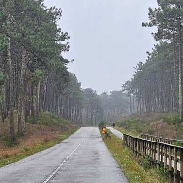
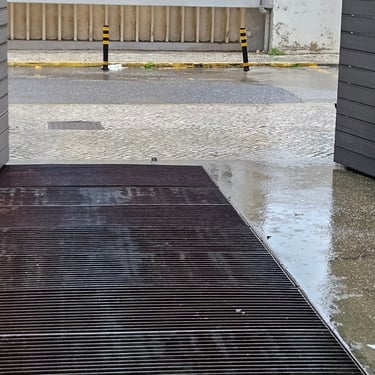
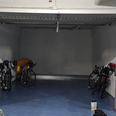
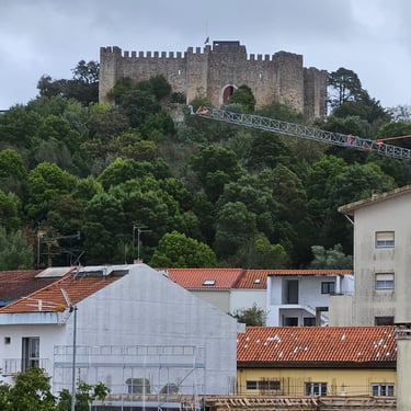
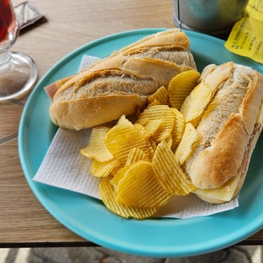
The view of wet roads from the hotel garage was unenticing but I eventually took the plunge just before 9am. The target was a bakery in Maiorca at about 29 miles which Google Maps suggested to be open and was on the route. The first 20 miles were parallel to the coast with significant sections through degraded forest. I think that there had been attempt to forest the coastal dunes but it had suffered from a wildfire or two. It took nearly 3 hours to reach the bakery which was indeed open and provided a warm refuge for the soggy cyclists (although the bikes had to stay outside and endure the heavy rain). After a big baguette and 40 minutes of warmth it was back on the bike to continue the battle against the elements and reach the hotel in Pombal just before 3pm by which time the rain was easing off.
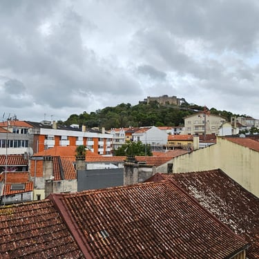
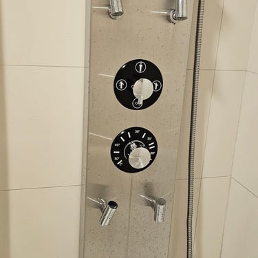
Bikes were housed in the garage and I removed my saddle to take to the room and get it dry. I had learnt a lesson from the Irish trip: Leather saddles that can't dry out then go out of shape. Our room in the hotel was actually two bedrooms which gave more space for spreading out soggy clothing. There were air conditioners which were useful because circulating air-conditioned air helped with drying process. The bathroom was memorable for an interesting shower control panel: Controls for water temperature and which nozzles should squirt water but no volume control so it was all or nothing!
Day 5: Pombal to Abrantes
Day 5 (7th October) Summary
Distance 52.5 miles: Total Ascent = 1,405m (4,610ft)*
Elapsed time = 6hr 11min: Moving time = 4hr 41min
Average moving speed = 11.2mph
*Ascent according to my Garmin Edge 1040 which usually agrees closely with Google Earth. My Edge 530 usually records about 15% less climbing which is more consistent with RWGPS. I assume that the newer hardware is more accurate.
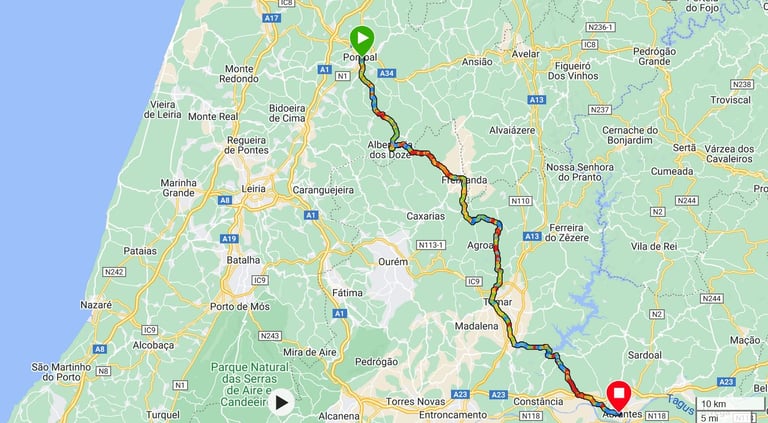


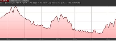
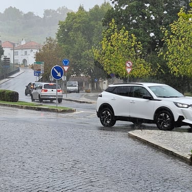
The wind had eased and a band of rain had just cleared through but the weather forecast threatened showers. These showers always seemed to be heaviest when cycling downhill and were more abundant than the sunshine with most of the day being cloudy. The 52 miles was made more challenging by 1,400m of hill climbing - a little more than on day 1. The temperature varied between about 18C and 20C.
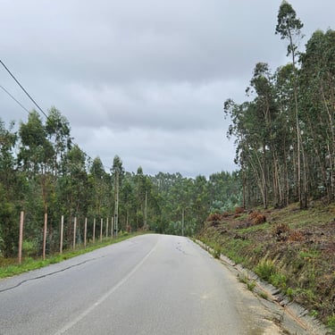
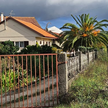
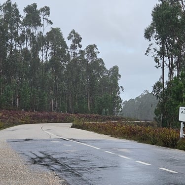
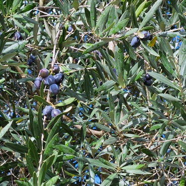
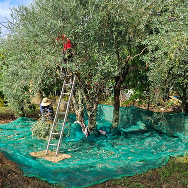
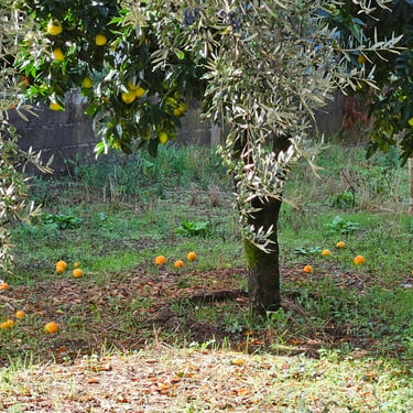
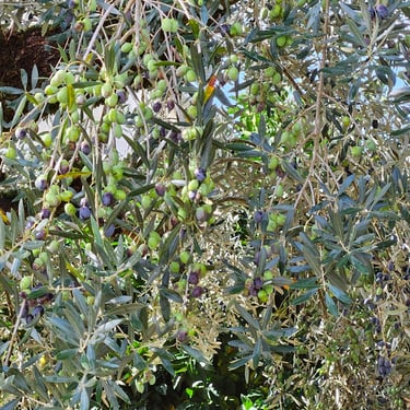
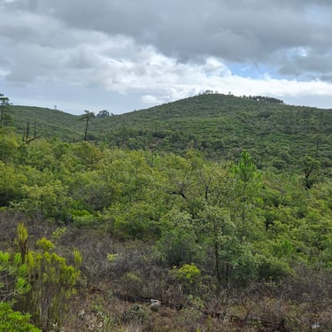
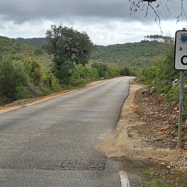
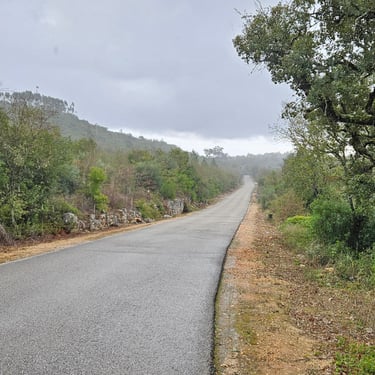
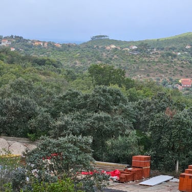
Departure was in the dry at just before 9am with a planned refreshment stop at a cafe in Tomar (about 33 miles) . There were various items of interest along the way. An early feature was what appeared to be a fruiting palm tree in a garden. Citrus trees were also popular. After cycling through a eucalyptus forest and over the first hill where it was cold and wet there was an olive growing area at about 20 miles where harvesting was in progress, which was interesting to briefly watch. After this the route traversed degraded, sometimes recently burnt, forest until Tomar where the cafe was reached at about 12:15 just as another heavy shower arrived.
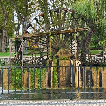
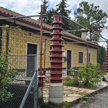
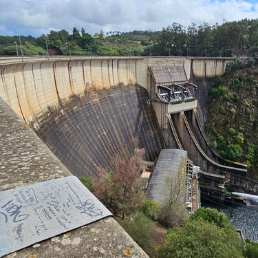
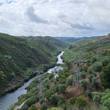
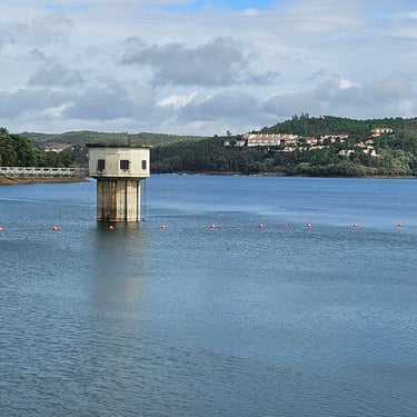
Pedalling continued after a 50 minute break. Shortly after leaving the cafe the ride passed an ornamental water wheel but the main feature of the afternoon was the Castelo do Bode dam. Shortly before the dam I had been intrigued by some big insulator strings used as support columns in front of a house. I have to assume that these were either rejects during the original construction of the hydropower plant or some that were subsequently replaced and then re-purposed.
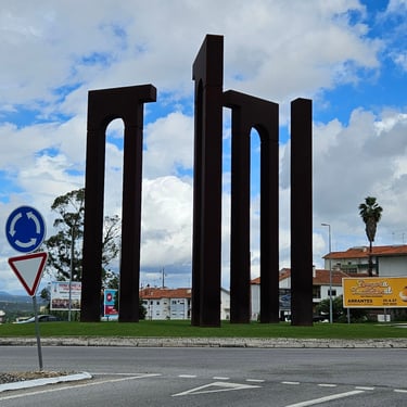
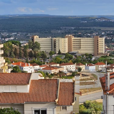
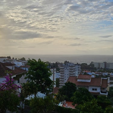
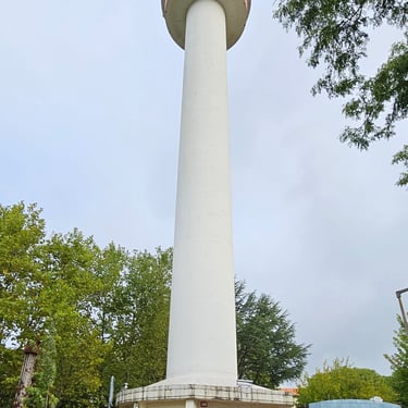
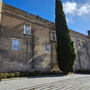
The day ended with a climb to Abrantes where entry was signalled by a fine edifice (sculpture isn't a suitable word) on a roundabout and then a further climb within the town to the Luna hotel on one of the highest points in the town and close to a telecommunications tower. There was a good view from the room's balcony which also provided somewhere for trying to dry the clothing. Another cycling group was also staying at this hotel.
Day 6: Abrantes to Montargil
Day 6 (8th October) Summary
Distance 37.6 miles: Total Ascent = 430m (1,400ft)*
Elapsed time = 4hr 08min: Moving time = 3hr 00min
Average moving speed = 12.5mph
*Ascent according to my Garmin Edge 1040 which usually agrees closely with Google Earth. My Edge 530 usually records about 15% less climbing which is more consistent with RWGPS. I assume that the newer hardware is more accurate.
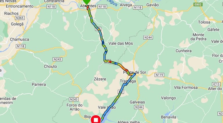


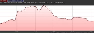
Accommodation planning resulted in a very short day of less than 40 miles (the other cycling group were doing a long day). The advertised 3pm check-in time at the next hotel meant we did some tourism (a walk around the outside of the castle) in Abrantes before setting out at about 10:30am. Before departing I did my pre-ride bike check and noticed that the rear tyre was a bit soft. Close scrutiny revealed a damp patch with a cut about 5mm long. It appeared that the tubeless sealant was doing its job so I topped up the pressure and set out (pressure was still OK when I checked at the end).
This was the driest day so far on the trip with one significant and inconvenient shower about 8 miles from the end. The south-westerly wind strengthened during the day and was very noticeable on the section of the ride from Ponte de Sor to the hotel where the road was almost straight into the wind. The temperature started at about 18C and crept up to 21C in the afternoon with occasional bursts of warmth when the sun found a gap in the generally overcast sky.
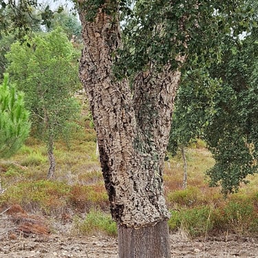
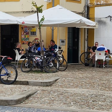
Cycling started with a rapid descent through the town down to the river. This was followed by 8 miles of gradual climbing through an area where cork trees were the main crop before reaching a mile of much steeper climb to reach the same elevation as the hotel. There was then some undulating cycling before a descent down to Ponte de Sor where a refreshement stop was planned. Many of the group had already reached a cafe I had identifed on Google Maps ahead of me so there was queue which the proprietor was struggling to move at a reasonable speed. He eventually phoned for someone to come and help. Fortunately, we weren't in any hurry so the one hour stop was OK.
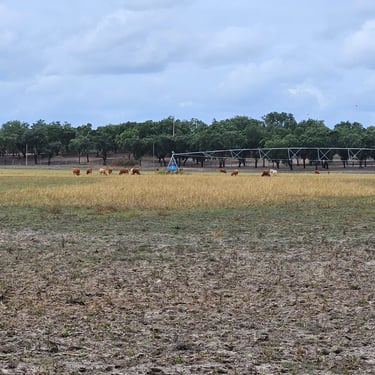
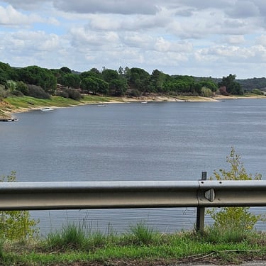
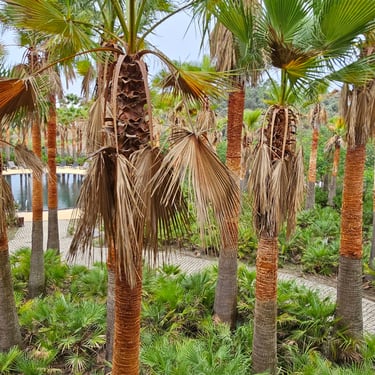
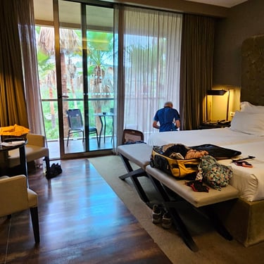
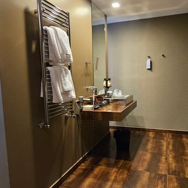
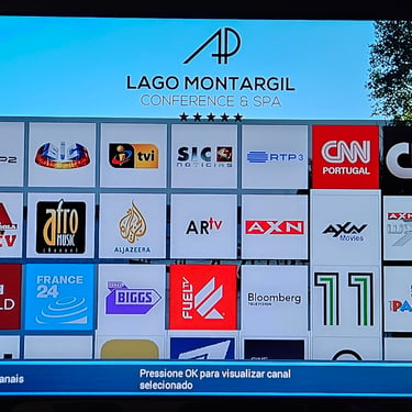
The remaining 15 miles were fairly flat but into a strengthening wind. There wasn't much of interest: A little irrigation and the occasional sighting of a nearby reservoir. The AP Lago hotel at Montargil was a spacious resort hotel with a view of palm trees from the room. The room was exceedingly spacious compared to most with the ablutions hiding behind a wall. A capsule coffee machine is fine for those who like a little coffee but a hassle for making tea. An enormous TV never got beyond the home screen despite pressing every button on the remote. Dinner was taken at the hotel as there was nowhere else within reasonable distance and service was somewhat slow in spite of the tables being booked before hand.
Day 7: Montargil to Evora
Day 7 (9th October) Summary
Distance 59.1 miles: Total Ascent = 1150m (3,770ft)*
Elapsed time = 5hr 50min: Moving time = 5hr 03min
Average moving speed = 11.7mph
*Ascent according to my Garmin Edge 1040 which usually agrees closely with Google Earth. My Edge 530 usually records about 15% less climbing which is more consistent with RWGPS. I assume that the newer hardware is more accurate.
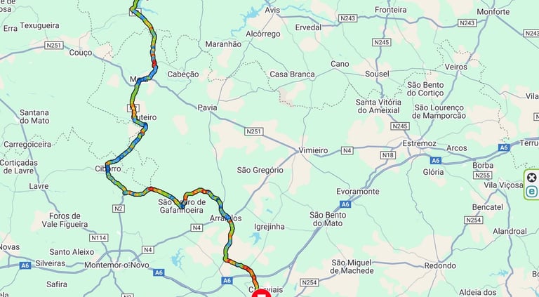


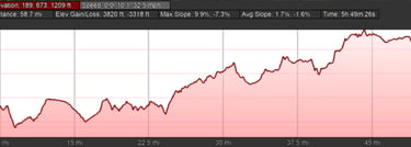
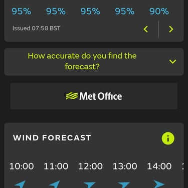
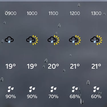
The day started with uninviting heavy rain with the UK met office weather app forecasting very strong SW wind late morning (but not as strong as forecast by the BBC app). The rain was expected to ease. Water outside, however, was not matched by water in the hotel's plumbing. A phone call to reception revealed that the problem was known and someone had gone to fix the water pump. Not really deserving the claimed five star quality! The water did return but there was no time for showers as a punctual breakfast was needed for the generally uphill day with some sections straight into the wind.
The temperature ranged between 19C and 21C and OK for wearing a rain jacket all day without getting sweaty. It was almost 9am when we braved the rain and got onto the road to pedal through a stream of water. Fortunately the rain soon changed to showers and eventually, by the end of the day, had become dry. There wasn't much of interest along the route, much of which was through degraded forest or grassland with trees. I had identified a cafe at about 35 miles as a possible refreshment stop. This proved to be open and quiet. The food on offer, however, was fairly limited but provided sustenance for the remaining part of the day's ride. We sat indoors with the bikes protected from the showers by the awning outside.
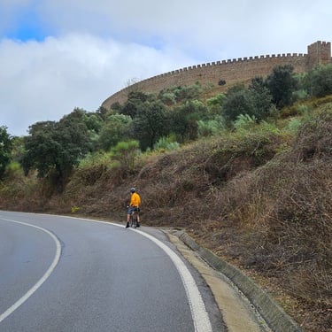
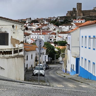
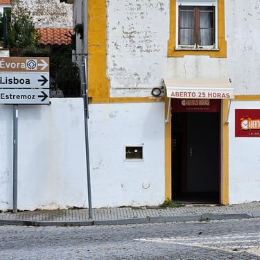
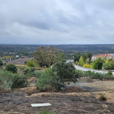
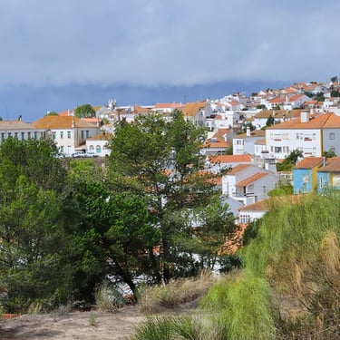
The town of Arraiolos had hills, cobbled streets and a shop which claimed to be open 25 hours. This was also, topographically, the high point of the day. My progress was temporarily interrupted here by a phone call from my local hospital regarding arrangements for the planned extraction of a wisdom tooth. Then it was just over an hour of slightly downhill for the 14 miles into Evora where we temporarily went off-course by missing the point where a cycle route, which used an old railway, gradually diverged from the road. This error was soon fixed once it was known. The cycle route then provided a quiet ride most of the way to the Ibis hotel with arrival at about 3pm.
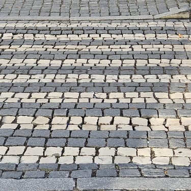
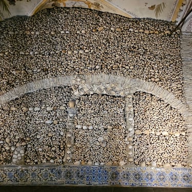
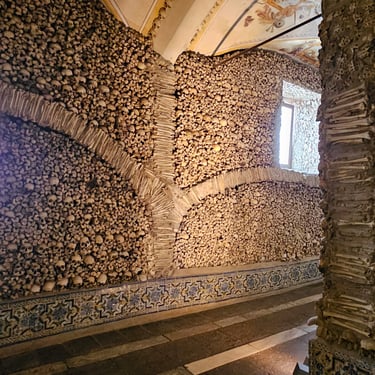
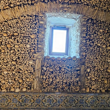
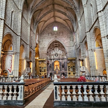
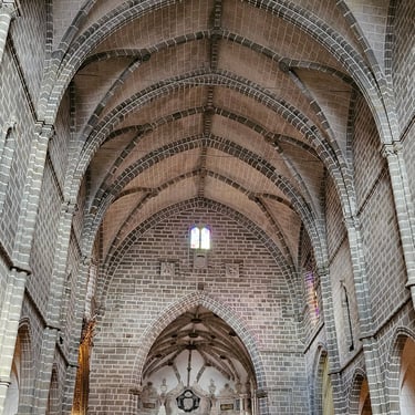
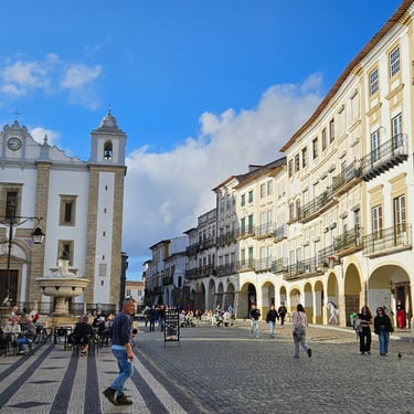
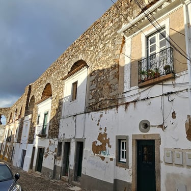
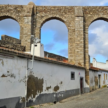
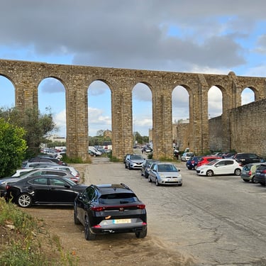
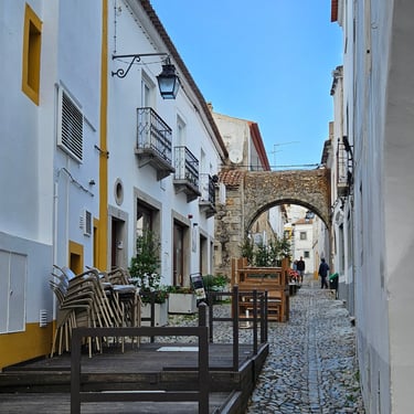
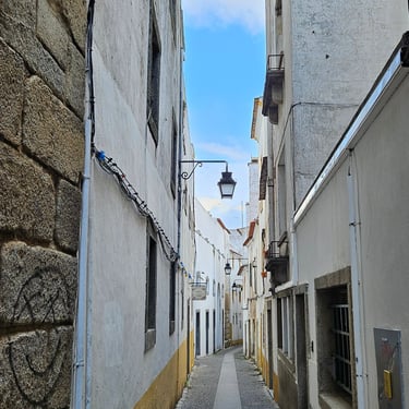
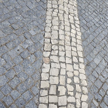
The rain had finally cleared and Evora has some history so some exploring was needed. One interesting feature was the use of white stones to create road markings in cobbles. The first stop was the Chapel of Bones which demonstrates that old bones can have structural uses followed by a quick look in the well-presented Igreja de São Francisco (St Francis' church). The next objective was to find the aqueduct what is often said to be Roman but was actually constructed in the 16th century to supply the city with water. The route went through the central square and it was interesting to see the way that houses had been built under the aqueduct. Then the temperature was starting to drop and we were getting hungry and located an open restaurant that had been found by another hungry group member. After a generous meal (it had been a hard day) there was a brisk walk back to the hotel and attend to an extremely lengthy on-line health questionnaire which included such questions as "Have you or your family been tested for mad cow disease?".
Day 8: Evora to Beja
Day 8 (10th October) Summary
Distance 53.3 miles: Total Ascent = 680m (2,230ft)*
Elapsed time = 6hr 16min: Moving time = 4hr 06min
Average moving speed = 13.0mph
*Ascent according to my Garmin Edge 1040 which usually agrees closely with Google Earth. My Edge 530 usually records about 15% less climbing which is more consistent with RWGPS. I assume that the newer hardware is more accurate.


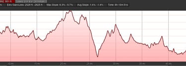
A dry day was forecast although, after a clear night, the temperature had dropped but blue sky and sunshine were very welcome. Distance and hill climbing were both moderate and the temperture was chilly (about 13C to start with but rising into the low 20s C in the afternoon). I put on my rain jacket to provide protection against the chilly and also my socks for the only time on the trip. My summer cycling footwear is sandals but, below about 15C, my feet want protection against the chill.
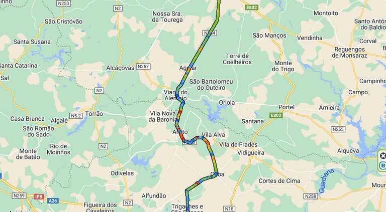
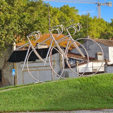
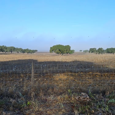
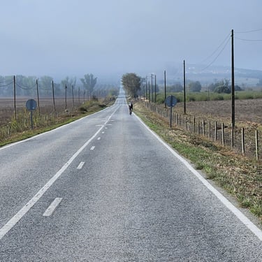
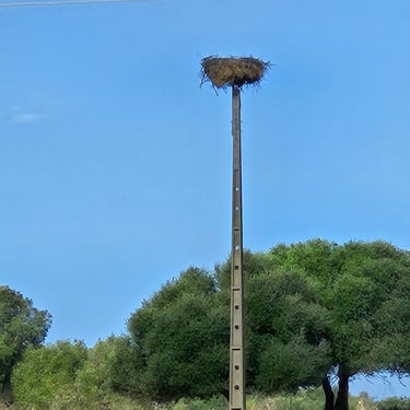
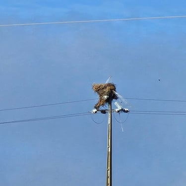
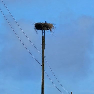
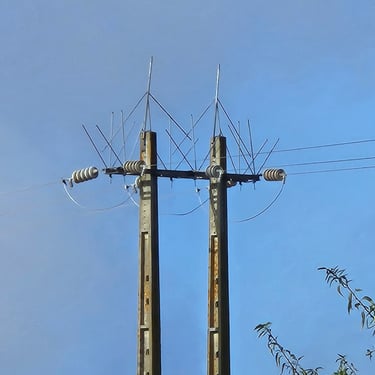
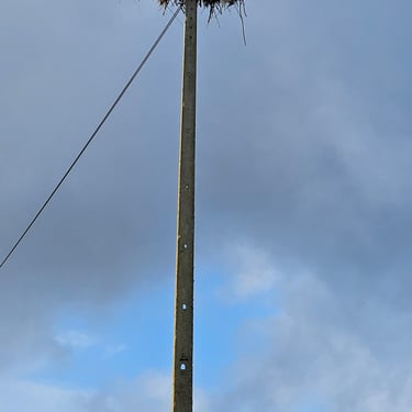
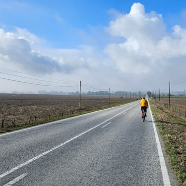
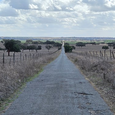
Departure was just before 9am and was in sunshine. Not far from the hotel I noticed a bicycle scupture on a roundabout. I had failed to see this the previous day. There was a short descent on leaving the city and the route was enveloped in thick mist. This gradually thinned as the sun burnt it off to reveal countryside comprising open grassland with occasional trees. There were miles and miles of straight, slightly undulating road. In fact, over 10 miles of straight spoilt by a slight jiggle through a village so it got a bit boring although, towards the end, bird's nests on poles provided some interest. Perhaps storks, although none were to be seen, but the effect of these nests on the power lines was sufficient to result in separate nesting poles being provided.
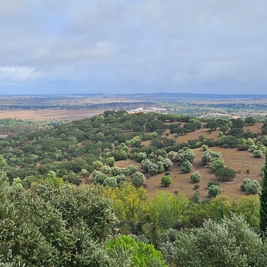
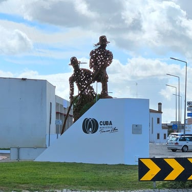
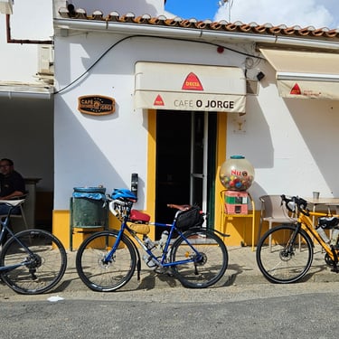
The route then became more undulating with more features of interest. At about 12:30 we reached the small town of Cuba and looked for a refreshment stop. My prior research had identified a cafe that was one street back from the route. This was easily found and said that they could prepare a baguette. We sat outside under a parasol in the mainly warm sunshine although this was interrupted by clouds. The baguettes took their time to appear but were delicious and, after an hour of relaxation, it was back on the bikes for the final 1/3rd of the day's cycling. This was through more open grassland and scrub with occasional trees and interspersed with areas of irrigated greenness. We had crossed over an irrigation canal several times. It probably all looked much greener earlier in the summer.
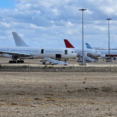
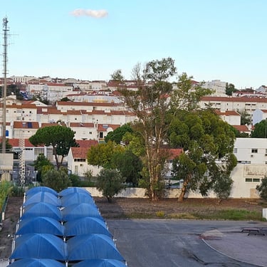
When getting near to Beja I stopped to view a row of aeroplanes in varying states of completeness. Was this plane storage, maintenance or a graveyard? The facility was on the edge of a military airbase. The BejaParque hotel was located on the edge of the city and easy to find. It was evident from the number of photographs with military aviation connections that the hotel provided accommodation for visiting NATO personnel when there was activity in the area.
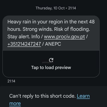
Dinner was taken as copious bar snacks started when hungry cyclists didn't want to wait until the restaurant opened. The evening was interrupted with phones pinging with broadcast warnings about strong winds and risk of flooding during the next two days. This wasn't a comforting thought - we had already had more than our fair share of wind and rain.
Day 9: Beja to Alcoutim
Day 9 (11th October) Summary
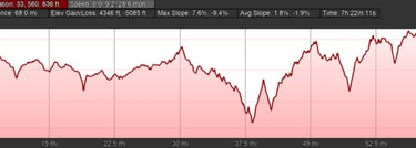
Distance 68.6 miles: Total Ascent = 1,320m (4,330ft)*
Elapsed time = 7hr 23min: Moving time = 5hr 57min
Average moving speed = 11.5mph
*Ascent according to my Garmin Edge 1040 which usually agrees closely with Google Earth. My Edge 530 usually records about 15% less climbing which is more consistent with RWGPS. I assume that the newer hardware is more accurate.
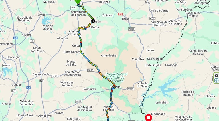


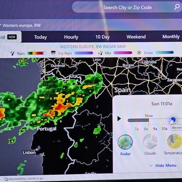
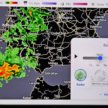
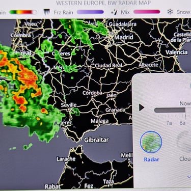
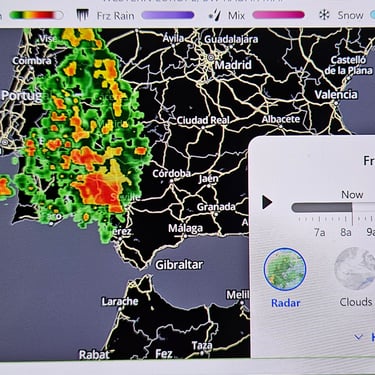
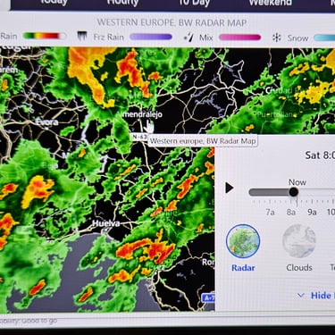
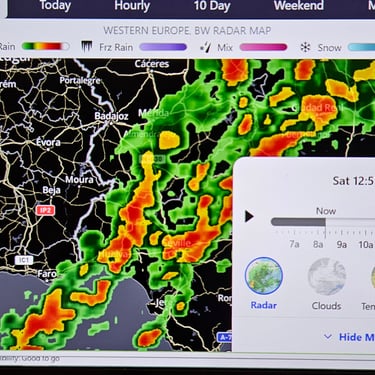
This was a fairly long (61 miles) and hilly day which turned out to be even longer. My day started by looking at a map of the forecast rainfall which confirmed that there was heavy rain in the area (the remnant of another American hurricane) but it wouldn't be continuous. The route was trending south-eastwards and thus not straight into the south-westerly wind except on a few sections. The temperature ranged between about 18C and 23C (during occasional brief periods of sunshine). I had my wet weather clothing on all day.
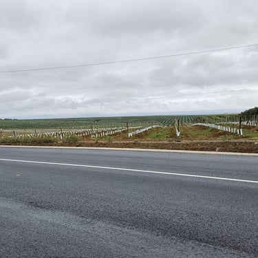
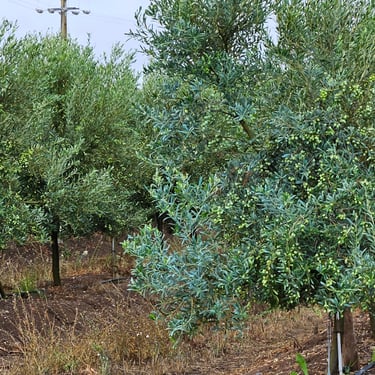
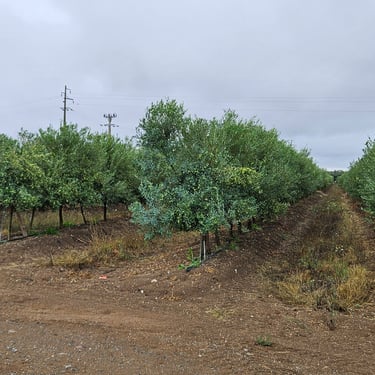
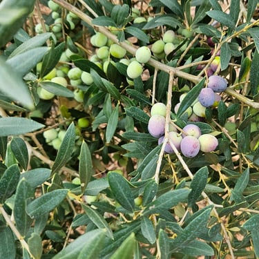
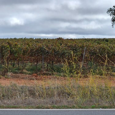
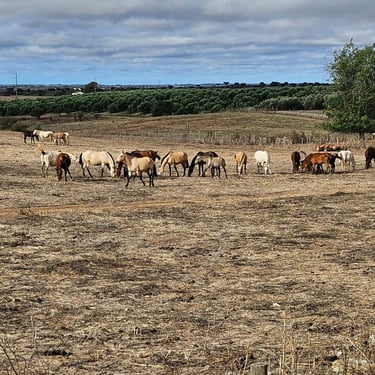
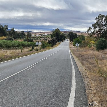
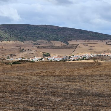
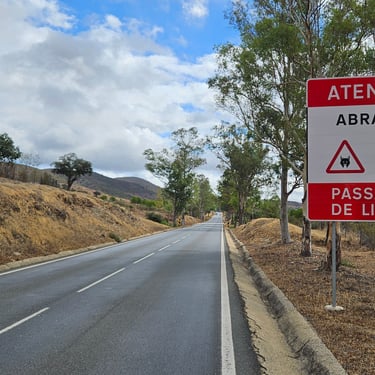
Cycling started at 08:40 and the route went around the edge of the city before heading into the countryside in a south-easterly direction on a quiet 5 mile straight road through an area which was progressively being developed for irrigated olive plantations. The shelter from the wind provided where the trees were large was very noticeable. Unfortunately, the route then turned right and straight into the wind. After 6 miles of mainly headwind the route turned southwards and then south-eastwards and the terrain became more undulating and browner. The first target of the day was a cafe in Mertola at about 37.5 miles and, so far, the rain had stayed away. I was more worried about the warning signs for Lynx. Were they a hazard? There's an explanation here.
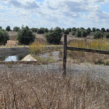
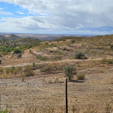
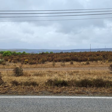
Heavy rain arrived just after we reached the cafe and news was received from a cyclist who was ahead of the rest about signs warning that the road ahead was closed. Roads closed to vehicles are often passable by cyclists so he went ahead and found that there was no way through because a bridge was being replaced. We would have to improvise a diversion which meant going south and then east instead of southeast. After an hour of lingering at the cafe it was time to brave the weather and find our way to the hotel. 1½ hours later we reached the town of Gioes where I thought it might be safe to let my Garmin start navigating again and we went about 3 miles eastwards along a minor road before the Garmin wanted to go along a gravel track. I preferred to keep to the tarmac and after about 2 miles joined the N124 highway which was going in the required direction. I made one quick stop to photograph a solar farm (the first I had seen in Portugal but no other photos were taken due to the rain) and the average speed improved with a little wind assistance. I wondered about how easy it would be to find the hotel in Alcoutim due to the different approach route but this time my Garmin had little scope for getting it wrong.
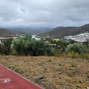
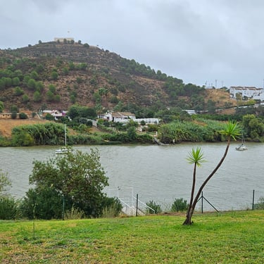
The hotel was a very welcome sight after the extra seven miles of cycling on a very wet afternoon. The room had a little balcony with a view across the river to Spain. Bikes were housed on the balcony and then there was the challenge of trying to dry soggy clothing. I had no urge to go exploring and dinner was taken at the hotel. The friendliness of the service (and an aging cat) more than compensated for the limited menu.
Day 10: Alcoutim to Olhao
Day 10 (12 October) Summary
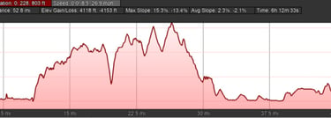
Distance 53.6 miles: Total Ascent = 1,180m (3,870ft)*
Elapsed time = 6hr 13min: Moving time = 4hr 52min
Average moving speed = 11.0mph
*Ascent according to my Garmin Edge 1040 which usually agrees closely with Google Earth. My Edge 530 usually records about 15% less climbing which is more consistent with RWGPS. I assume that the newer hardware is more accurate.
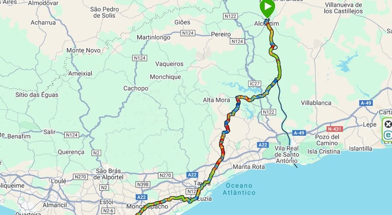


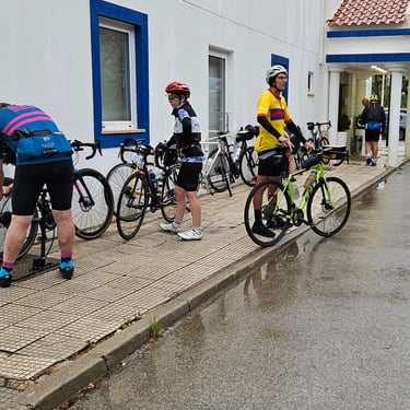
This day started with another ominous rainfall forecast - heavy rain in the morning but should clear later. I had been under the impression that people went to the Algarve to enjoy the sunshine! The temperature ranged between 18C and 20C (coolest on the top of the hill we had to go over). As bikes had to be boxed up at the end an attempt was made for a relatively early start, as bikes needed to be packed at the end, although this was delayed by trying to get everyone together for a group photo and we didn't get moving until 08:40.
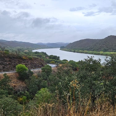
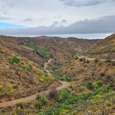
The first 10 miles were mainly fairly flat cycling southwards alongside the Guadiana river before turning southwest to get through the hills. Some of this was fairly scenic albeit with a strong brown tinge and some of it was challenging cycling. Particularly memorable was crossing a valley which involved a fairly steep descent, around a tight bend, over a bridge and up a steeper climb on the other side. That climb was the hardest on the trip (although a short section on day one was probably steeper) and the need for caution on the bends meant that it wasn't possble to use kinetic energy from the descent to help with the subsequent climb.
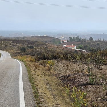
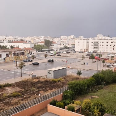
There were occasional glimpses of blue sky and, eventually, the coastal plain came into sight although the sun was still absent. I had identifed an on-route cafe but a quick glance revealed it didn't merit further inspection so finding some refreshment needed going slightly off-route in one of the coastal towns. Many stopped in Tavira but four of us continued to Santa Luzia. We spent 15 minutes sat in the first restaurant we tried before being told that we couldn't have only soup but needed to order a full meal. We then continued and found a more welcoming snack bar where our snacks were fairly slow to appear and were very generously sized. From there it was another 15 miles and 1¼ hours of pedalling to the end. By this time the weather was mainly dry but, most inconveniently, there was a heavy downpour about 15 miles from the end to ensure that riders and bikes were soggy on arrival.
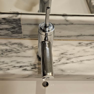
The hotel was fairly luxurious with plenty of space inside the entrance to get bikes packed. The rooms were spacious with another of those damned coffee machines instead of a simple kettle. The bathroom was very spacious with two wash basins but the taps were operated by fiddly little joysticks which were very difficult to control. Why can the people who specify such things keep them simple and user friendly?
A group dinner was taken in the hotel and the meal was somewhat slow despite being pre-ordered. Towards the end the leaders decided it was time to give out the awards. I was honoured with "Keeping leaders on their toes / annoying Dominic". Then it was time to say our farewells although we would see some the next morning.
The Journey Home and Concluding Remarks
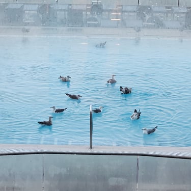
The day started with blue sky and a good weather forecast. I had booked the 10:40 Easyjet flight to Gatwick which needed a prompt and quick breakfast ready for one of the taxis to Faro airport. On the way to breakfast I saw that the seagulls were making good use of the hotel swimming pool. The taxi sped us to the airport in very little time so we were at the airport with lots of time to spare.
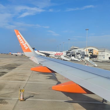
Unlike the return home from Venice, or the flight to Porto this flight was on time and boarding did not involve a dash through the rain and by 10:10 I was on board looking at the blue sky outside. A slightly early arrival at Gatwick was followed by discovering zero queue for the gates at passport control. As I had paid for the Easyjet Speedy Boarding option I had my bag with me so next stop was the station and find the first shuttle service to Reading (my train ticket was nominally booked for a later train but fortunately this did not trouble the system). Once at Reading it was find the first train to Swindon and then the next bus home. The overall journey was smoother than usual.
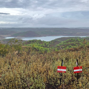
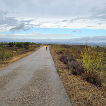
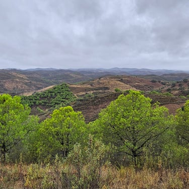
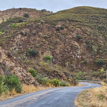
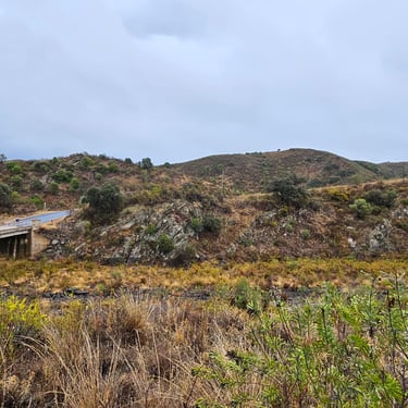
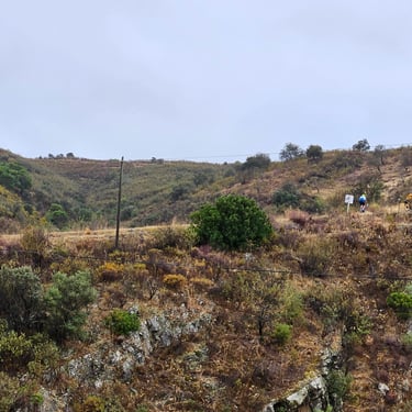
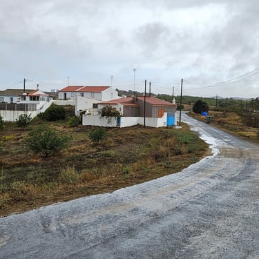
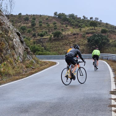
What did I think of Portugal? The frequently brown topography was somewhat uninspiring but pedalling through the Alps had set a high bar. The Portuguese weather was extremely disappointing. Only two of the ten days cycling were completely dry and both of those started with some thick mist. I didn't need to have packed my sun lotion!
